Are There Cassowaries in Paluma & Godwin's Peak?
Wondering if there are any cassowaries in Paluma? Join Blair, Cherry Judge and Luen Warneke as they discuss rare cassowary sightings, how to spot their tracks, and a complete guide to hiking Godwin's Peak and Pick Falls in the Paluma Range.

Are There Cassowaries in Paluma?
It sounds like a local myth, but yes, there are cassowaries in the Paluma Range! In our latest episode of the Take A Hike podcast, Blair Woodcock, Cherry Judge, and Luen Warneke dive into the rare but very real sightings of these magnificent birds in our region.
While spotting the bird itself is quite rare, finding the evidence is much more common. Hikers have reported sightings and scat in less-tracked areas, such as the Bambaroo Route, the track from Paluma Dam to Crystal Creek Falls, and near the Station Creek area.
How to spot cassowary scat:
- It looks like a gluggy, saucer-sized pile of semi-digested fruit and seeds.
- You will often see blue Quandong seeds in the mix.
- Keep an extra eye out starting around November, which marks the beginning of their mating season.
Call for Citizen Science
There is currently a local research project studying the distribution, abundance, and habitat of cassowaries in the Bluewater, Rollingstone, and Paluma regions. If you spot a cassowary, a footprint, or even just a pile of seeds that looks like scat, please mark a waypoint on your GPS or mapping app. You can report these sightings directly to the Cassowary Citizen Science Project at this URL https://arcg.is/1vjLaq or by scanning this QR code.

Hiking Godwin's Peak
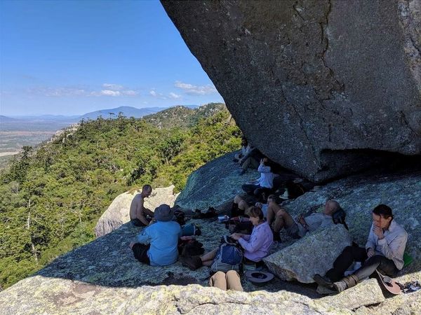
If you are looking for what might be the best summit in the Paluma Range National Park, Godwin's Peak should be on your list. While Mount Halifax gets a lot of the spotlight, Godwin's Peak offers an incredible 360-degree view thanks to its clear, grassy summit.
Getting There
The entry point is around Toomulla in the State Forest. You will need to park your car on the side of the highway as the turn-off is blocked by gates. From there, you walk or ride your bike in along the forestry roads to reach the trailhead.
Top Tip: Try to time your hike for after the forestry roads have been slashed. Otherwise, you might find yourself wading through head-high grass just to get to the start of the trail!
Pick Falls: A Shorter Adventure
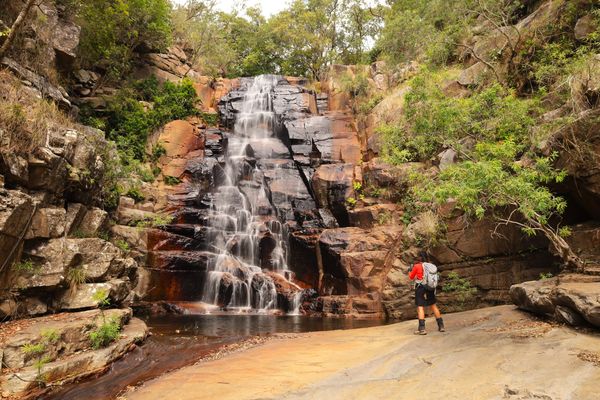
If you do not want to commit to a full 8-hour summit hike, you can do a lovely 2.5 to 3-hour return trip to Pick Falls and Twin Falls. The trail up to this point is relatively flat and easy. Pick Falls actually gets its name from an old, rusty mining pick found there by local hiker Mickle. It is a great spot for a swim, especially just after the rains.
The Summit Push
Past the falls, the track goes practically vertical. It is a well-worn, unofficial bush track (which you can find on Wanderstories), but you must take a map and GPS to stay safe.
Crucial Navigation Warning: It is very easy to miss the summit! The track eventually reaches a saddle T-intersection. The path straight ahead will overshoot the summit and take you towards Mount Halifax. You must explicitly look right at the intersection to head up to the Godwin's Peak summit.
Two for One: Godwin's and Halifax
Feeling energetic? You can bag two peaks in one day. The trail connects Godwin's Peak to Mount Halifax. It is an uphill trek from Godwin's that takes about an hour or two. You can complete the circuit with a car shuttle at the highway.
No matter what trail you choose this weekend, pack your GPS, watch out for cassowary scat, and happy hiking!