Fredrick's Peak
Climb Fredrick’s Peak near Townsville for panoramic views of Cleveland Bay, Harvey’s Range, and rocky outcrops perfect for exploring or abseiling. This 1977 route offers an easy hike via the saddle and ridge, marked trail, and rugged slatey rocks—an iconic North Queensland bushwalking adventure.
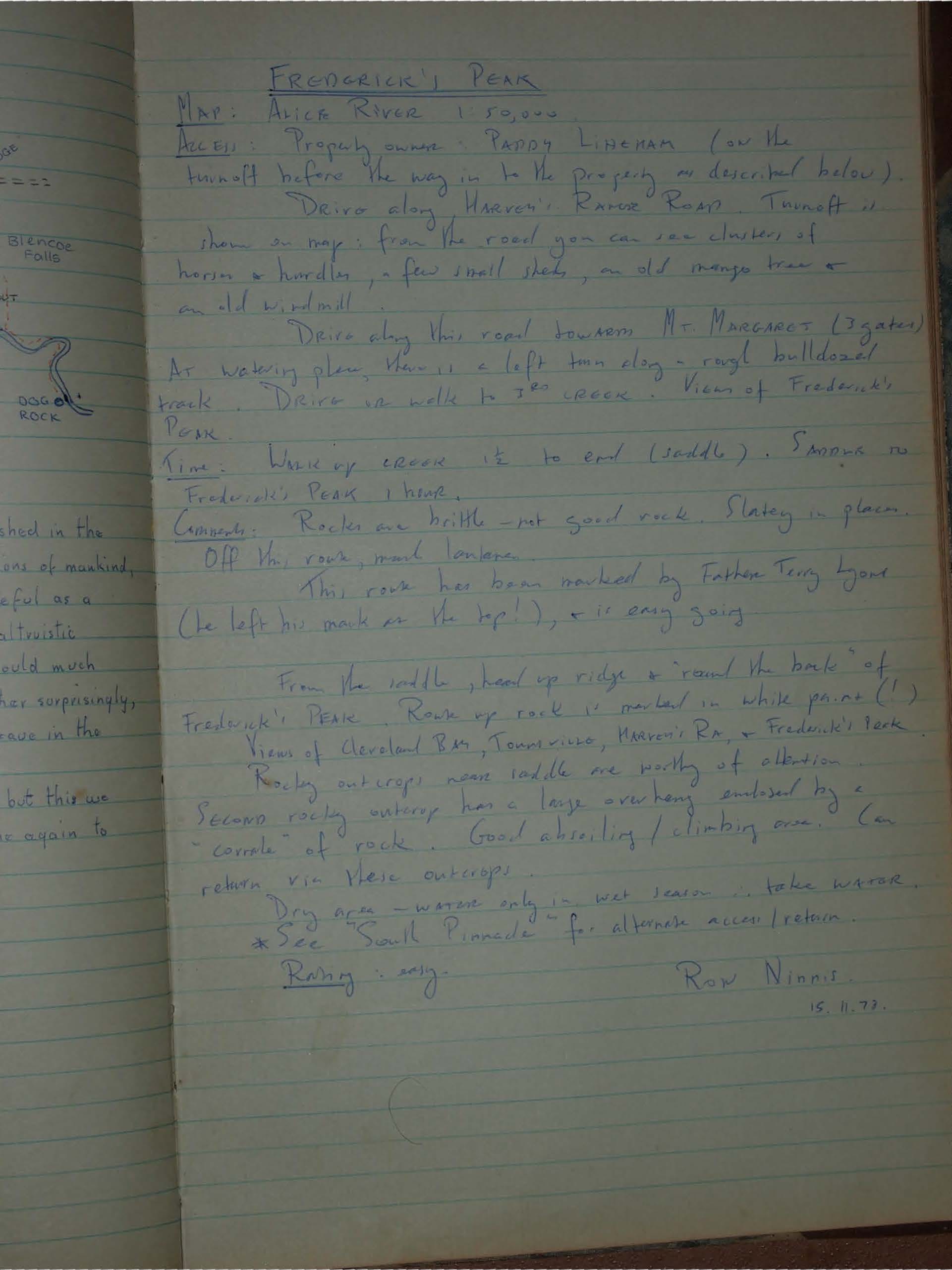
FREDRICK'S PEAK
MAP: ALICE RIVER 1:50,000
ACCESS: Property owner PADDY LINEHAM (on the turnoff before the way in to the property as described below).
Drive along Harvey's Range Road. Turnoff is shown on map : from the road you can see clusters of houses & hurdles, a few small sheds, an old mango tree & an old windmill.
Drive along this road towards MT MARGARET (3 gates).
At watering place, there is a left turn along a rough bulldozed track. Drive or walk to 3rd creek - Views of Fredrick's Peak.
Time: Walk up creek 1/2 to end (saddle).
Fredrick's Peak 1 hour.
Comments: Rocks are brittle - not good rock. Slatey in places.
Off the route, much lantana.
This route has been marked by Father Terry Lyons (he left his mark on the top!), & is easy going.
From the saddle, head up ridge & 'round the back' of Fredrick's PEAK. Route up rock is marked in white paint (!).
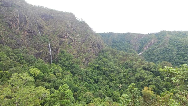
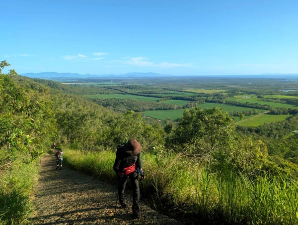
Views of Cleveland Bay, Townsville, Harvey's Ra. & Fredrick's Peak.
Rocky outcrops near saddle are worthy of attention.
Second rocky outcrop has a large overhang enclosed by a "corral" of rock. Good abseiling / climbing area. (return via these outcrops)
Dry area - water only in wet season. take water.
*See "South Pinnacle" for alternate access/return.
Rating: easy.
Row Ninnis.
15.11.77.


