Geotagging Debate & Porcupine Gorge Hike
Tune in to the Take a Hike podcast for a geotagging debate and a guide to the Porcupine Gorge hike for your long weekend! Luen Warneke and Cherry Judge discuss sharing remote spots and offer tips for a 4-day trek near Hughenden.
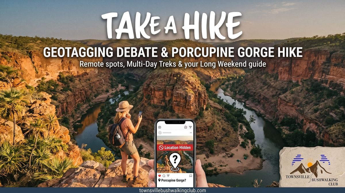
Welcome back to the Take A Hike podcast blog! In this episode, host Blair Woodcock is joined by Townsville Bushwalking Club regulars Cherry Judge and Luen Warneke. With long weekends on the horizon, the crew tackles a controversial topic in the outdoor community before diving into an epic multi-day hiking destination: Porcupine Gorge.
The Great Geotagging Debate
To drop a pin or not to drop a pin? Geotagging - sharing the exact coordinates of a location on social media or trail apps - is a hot topic.
Luen's rule of thumb is simple: do not geotag remote locations if they lack the infrastructure to support heavy foot traffic.
Here is a breakdown of the crew's thoughts:
- Infrastructure Matters: Places like Alligator Creek Falls have dedicated paths and can handle visitors. Remote, off-track spots cannot.
- Safety Risks: Blair points out that sharing hardcore, remote tracks might lead inexperienced hikers into dangerous situations.
- The Exposure Effect: Cherry notes that once-quiet spots like Raspberry Falls and Rope Falls are now essentially car parks on weekends.
- The Silver Lining: The more people fall in love with nature, the more advocates we have to protect it.
The Verdict: Geotag with care and a level of responsibility. For remote spots, consider asking followers to send a direct message (DM) to gauge their experience level before sharing exact details.
Porcupine Gorge: A Long Weekend Adventure
If you are looking for an unforgettable long weekend adventure, Porcupine Gorge (about a six-hour drive west of Townsville, near Hughenden) is a Townsville Bushwalking Club favourite.
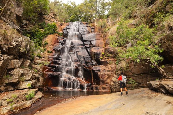
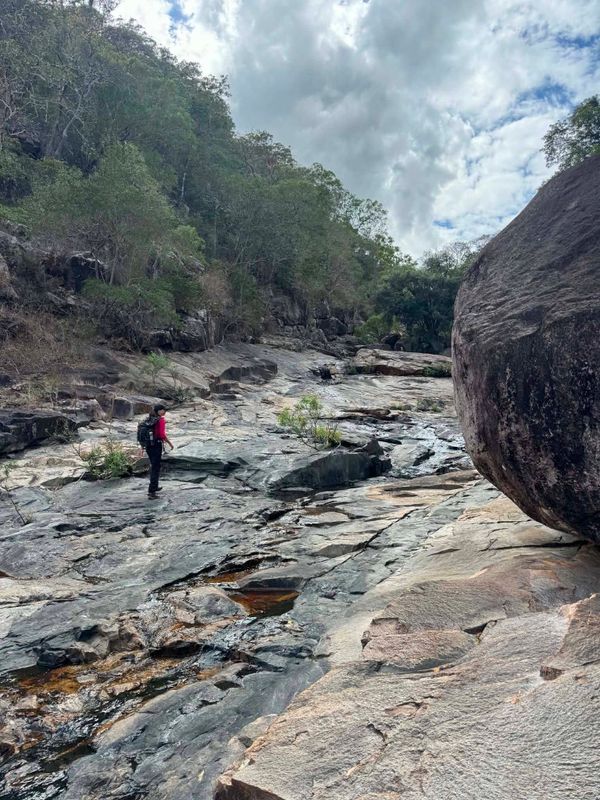
Often compared to the Thorsborne Trail in terms of scale, this 32-kilometre trek usually takes about four days to complete. The gorge itself is stunning, boasting towering walls between 60 and 100 metres high.
Hike Details & Practical Tips
- Access: It is 2WD accessible. You can park at the National Park campsite at the northern end.
- Navigation: It is an off-track, remote bushwalk, but navigation is relatively straightforward as you follow the creek.
- Water Levels: Check the Emu Plains bomb levels before you go. If the water is flowing, you will not need to carry much. However, if the water level is over 2 metres, you will be forced out of the sandy creek bed and will have to do a lot of steep climbing and bush-bashing along the gorge sides.
- Logistics: You can do an out-and-back walk from the main campground. Alternatively, you can do a point-to-point hike ending at Blackhawk Gorge, but you will need to arrange a car shuttle or stash some mountain bikes to ride back to the start.
- Camping: There are magical, sandy spots along the gorge floor to set up camp, often with wedge-tailed eagles circling above. Just remember to book your permits through the National Parks website and notify authorities of your plans.
Whether you are heading out to the Outback Hughenden Festival, tackling the 180km Grand Fondo bike ride from Ravenswood to Burdekin, or just enjoying a local trail, stay safe out there. Happy hiking!