Lost (North) Creek
Lost (North) Creek bushwalk: A navigational detour turned into an off-track adventure—bush-bashing past dry creeks and cycads before popping out on Alligator Creek. Rock-hopped to the falls for lunch with views, then returned via the NP track. Unplanned, unforgettable.
Sunday 23rd May 2014 one day
Five members, one visitor, set off to visit North Creek. Brief was that we would not go to the usual lunch spot, but stay in the creek line - ‘see what happens’.
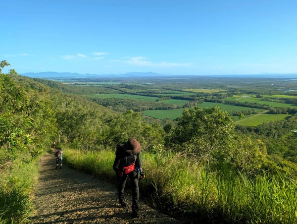
Depart Alligator Creek day use area at 0805. Cross Cockatoo Creek and see the evidence of high and hard water flow from Cyclone Ita. Wonder what North Creek will be like and if affected as well. Wander along the NP track, reach the powerlines track, which is very overgrown and uninviting, so we stay on the NP track. Reach the long deep pool at Alligator Creek crossing, turn right along a side track to go up to the powerlines. Down the powerlines track, reach what should be North Creek, but all looks different. Can’t be the correct creek ! Tractor has done work on the crossing which has changed the crossing look, but even the creek upstream view does not look right. Keep going on the track, wander along, but landmarks I seek are not evident. Reach another creek with good waterflow, but this does not look right either. Ah well, has good waterflow, lets go up this one. Must be something interesting upstream with this good water flow.
Can not rock hop, so bush bash on the right, slowly climbing away from the creek. Then angle downwards to re-find the creek, to cross dry creek bed. Where did the good waterflow go ? Climb the embankment, though patch of Siam weed, bush bash along, with Wilfred doing the hard work as usual. Cross some more dry creeks, confusing as to where that waterflow went. Up high, we can look over terrain,. We do not seem that far from Alligator Creek line. Pass though cycad forest, some very tall to ten metres. Some nice gumtrees here too. After 3 hours of bush bashing and dry creek crossings, we come to a creek with good waterflow. This is Alligator Creek ! Much rejoicing because smoko is now permitted. Joy goes for a break, stands on a snake, then whilst hiding in bushes people walk closely by - on the NP track above the creek – oops, definitely Alligator Creek.
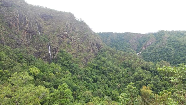
After smoko, we rock hop upstream to reach the base of the falls. Four hours to get here, compared to two hours if on the NP track. The falls view was superb, good waterflow. We then scramble up the steep right side bushbashing and clambering to reach near the top of the falls for a great lunch spot with superb views. After lunch we return down the same side to base of the falls and the pool. After a short break, return home on the NP track, at Cockatoo Creek we follow Alligator Creek down to the day use area and car park. A good day out, not as planned, but as I said ‘with lunch not at the usual spot’ !


