Map Vs GPS & Hiking Mt Flagstone
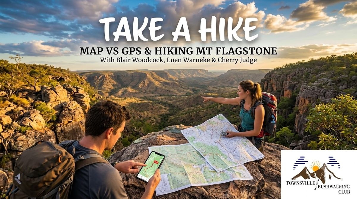
Join Blair, Luen Warneke, and Cherry Judge as they debate Map Vs GPS navigation. Plus, discover what it takes to take a hike to Mt Flagstone in the Mingela State Forest. Enjoy practical tips and trail stories for your next adventure.
Welcome Back to Take A Hike
In this episode of the Take A Hike podcast, host Blair Woodcock is joined by Townsville Bushwalking Club regulars Cherry Judge and Luen Warneke. With Cherry freshly back from a relaxing kayaking trip in the Philippines (complete with poolside cocktails!), the team dives straight into a classic outdoor debate and a recap of a very exclusive local hike.
The Great Debate: Map Vs GPS
When navigating the bush, do you rely on modern technology or old-school skills? The crew weighed the pros and cons of both.
The Case for GPS
Apps like Gaia GPS and AllTrails have made the outdoors more accessible. Cherry loves following the "yellow brick road" of a shared GPX file. The learning curve is low, and it is incredibly reassuring to see your exact position as a little red dot.
The catch? Batteries die, phones break, and heavy tree cover can block satellite signals.
The Case for Paper Maps and Compasses
While GPS is fantastic, understanding how to read a topographic map is a crucial survival skill. It is not just about knowing where you are; it is about understanding the terrain around you.
Luen shared some great insights, referencing the book How to Navigate: The Art of Navigation Without a Map or Compass. He often prefers to read the contours of the land, follow creeks, and use natural landmarks rather than staring at a screen.
Practical Navigation Tips:
- Always carry a backup: If you use a phone for GPS, bring a paper map and compass (and know how to use them!) or ensure a hiking buddy has a backup device.
- Know your map features: Learn to identify contours, ridgelines, spurs, and intermittent streams.
- Keep it North-facing: Luen's top tip for digital maps is to keep the map locked facing North. Rotating the map can change how hill-shading appears, sometimes making ridges look like valleys and causing unnecessary confusion.
- Practice makes perfect: Join a local orienteering club to hone your skills in a safe environment.
Taking a hike to Mt Flagstone
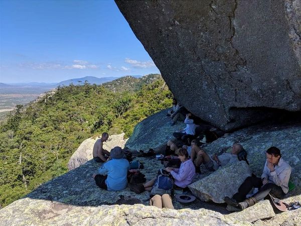
Later in the episode, the team recounted a recent Townsville Bushwalking Club hike led by Luen that tackled Mt Flagstone.
If you have ever driven toward Charters Towers, you have likely spotted this mountain. It sits within the Mingela State Forest, surrounded by a rocky cliff that gives it a castle-like appearance.
Hike Details and Highlights:
- Access: The surrounding area is entirely private property, meaning you cannot access it without explicit permission. (This is a great reason to join an organised group like the Townsville Bushwalking Club!)
- The Terrain: It is a bushland environment loaded with spear grass, lantana, and even prickly pear cactus near the summit.
- The Journey: While only a 5km round trip, it took the group about half a day (around 6 hours) due to the steep terrain and taking time to enjoy the circuit route.
- Historical Clues: At the top, hikers can spot old trig points and dead ironbarks with old handsaw marks - remnants of how early navigators built their markers back in the day.
Get Out There!
Whether you are hitting the pavement at Mt Stuart like Blair, exploring the waterfalls near Port Douglas like Luen, or supporting friends at the Magnetic Island Swim qualifier on the Strand like Cherry, stay safe and be prepared.
Want to join hikes like the Mt Flagstone adventure? Join us!
Happy hiking!