The Dalrymple Track 1978
Hike the historic Dalrymple Track near Ingham, QLD, a rainforest trail with stone bridges, creek crossings, and remnants of 19th-century engineering. This 1978 bushwalk follows Dalrymple Creek through lush gullies and scenic gaps, offering a rewarding two-day adventure rich in history and nature.
11 & 12/5/78
Heather Roberts, Neal Sellars, Steve Coleman.
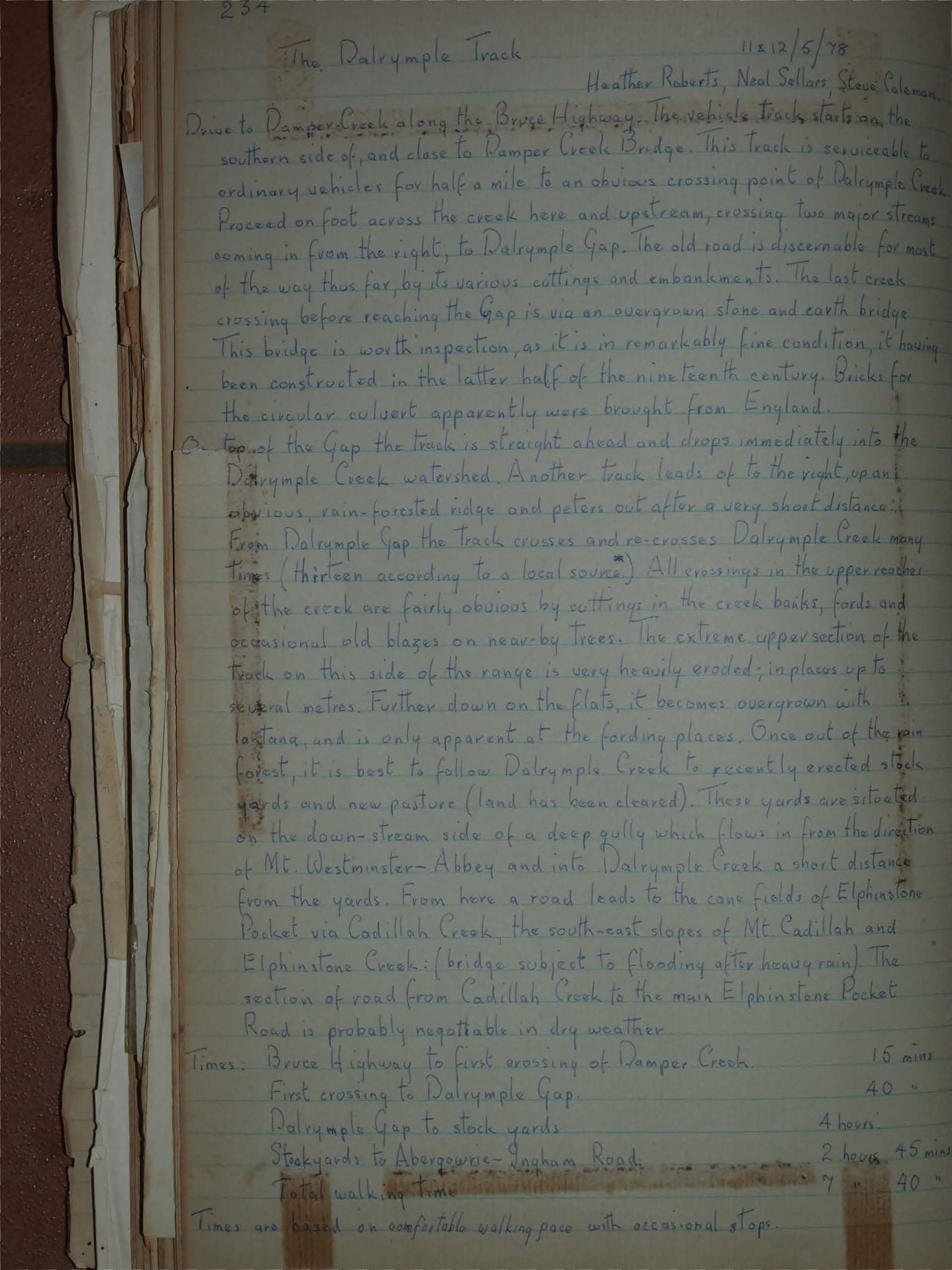
Drive to Ramper Creek along the Bruce Highway. The vehicle track starts on the southern side of, and close to Ramper Creek Bridge. This track is serviceable to ordinary vehicles for half a mile to an obvious crossing point of Dalrymple Creek. Proceed on foot across the creek here and upstream, crossing two major streams coming in from the right, to Dalrymple Gap. The old road is discernable for most of the way thus far, by its various cuttings and embankments. The last creek crossing before reaching the Gap is via an overgrown stone and earth bridge. This bridge is worth inspection, as it is in remarkably fine condition, it having been constructed in the latter half of the nineteenth century. Bricks for the circular culvert apparently were brought from England.
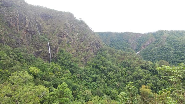
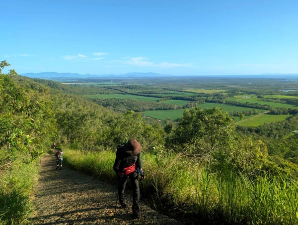
On top of the Gap the track is straight ahead and drops immediately into the Dalrymple Creek watershed. Another track leads of to the right, up an obvious, rain-forested ridge and peters out after a very short distance. From Dalrymple Gap the track crosses and re-crosses Dalrymple Creek many times (thirteen according to a local source *). All crossings in the upper reaches of the creek are fairly obvious by cuttings in the creek banks, fords and occasional old blazes on near-by trees. The extreme upper section of the track on this side of the range is very heavily eroded; in places up to several metres. Further down on the flats, it becomes overgrown with lantana, and is only apparent at the fording places. Once out of the rainforest, it is best to follow Dalrymple Creek to recently erected stock yards and new pasture (land has been cleared). These yards are situated on the down-stream side of a deep gully which flows in from the direction of Mt. Westminster-Abbey and into Dalrymple Creek a short distance from the yards. From here a road leads to the cane fields of Elphinstone Pocket via Cadillah Creek, the south-east slopes of Mt. Cadillah and Elphinstone Creek: (bridge subject to flooding after heavy rain). The section of road from Cadillah Creek to the main Elphinstone Pocket road is probably negotiable in dry weather.
Times:
Bruce Highway to first crossing of Ramper Creek 15 mins
First crossing to Dalrymple Gap 40 mins
Dalrymple Gap to stock yards 4 hours
Stockyards to Abergowrie - Ingham Road. 2 hours 45 mins
Total walking time ~ 7 hours 40 mins
Times are based on comfortable walking pace with occasional stops.
Walking the Dalrymple Track is a delightful and easy two-day trip. The distance could be covered by an energetic party in a day, but the pools of Dalrymple Creek are very tempting. It is indeed a beautiful example of a tropical rain-forest stream.
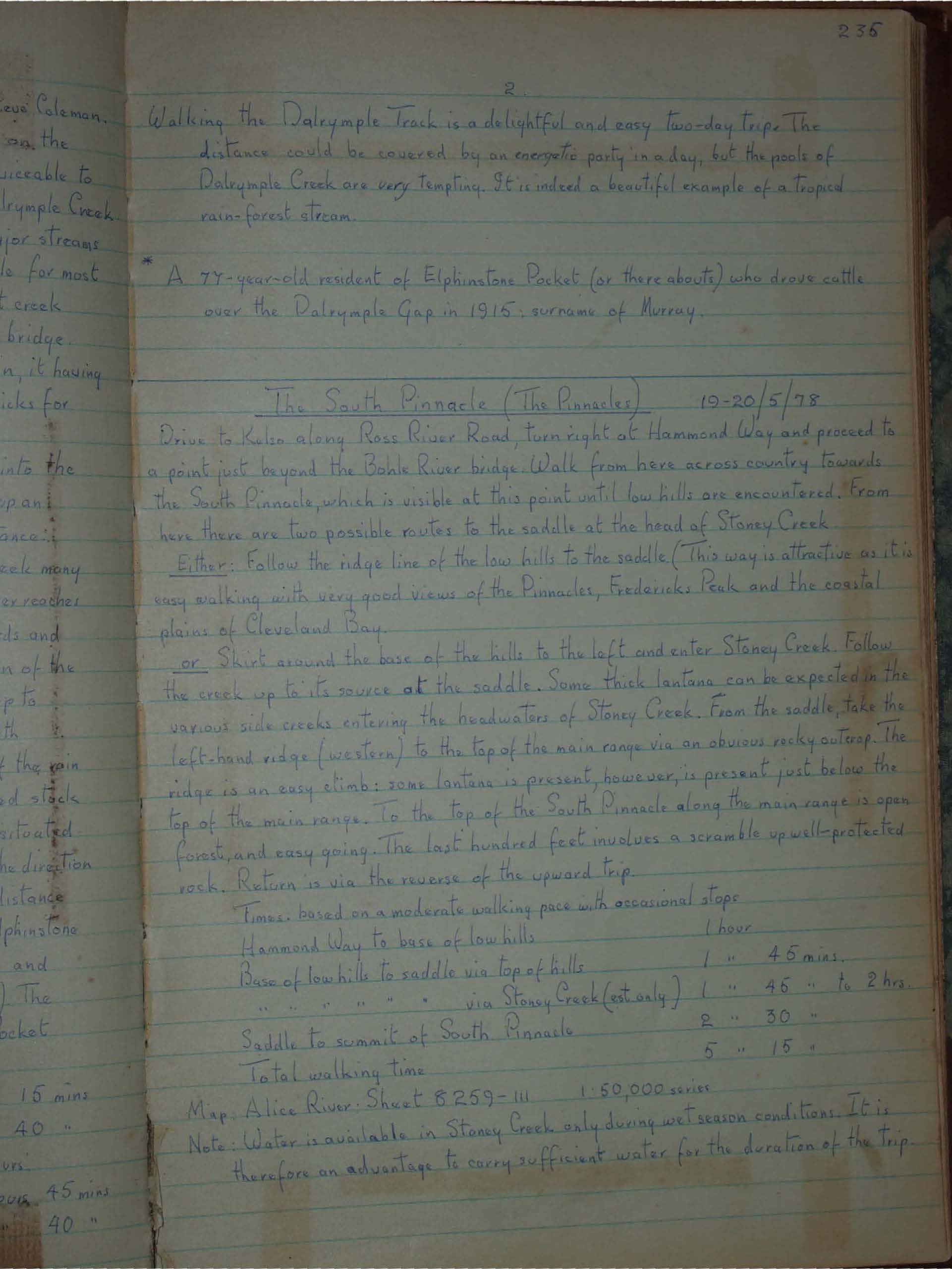
*A 77-year-old resident of Elphinstone Pocket (or there abouts) who drove cattle over the Dalrymple Gap in 1915; surname of Murray.


