Wallaman Escarpment - Trip Report
Learn to Lead at the Wallaman escarpment gave Townsville Bushwalking Club members practical off-track navigation training, map-and-compass skills, escarpment views, flowing creeks, and a confidence-building day aimed at developing future walk leaders.
Date: Saturday 28 March 2026
Leader: Luen & Adrian
Participants: 5
Our Learn to Lead day at the Wallaman escarpment was a success, and best of all, we did not go in any circles. However, one person was a no-show as they became lost on the drive to the Wallaman Falls camping area - not a good start. Some also arrived early and stopped at the Wallaman Falls Lookout before we met.
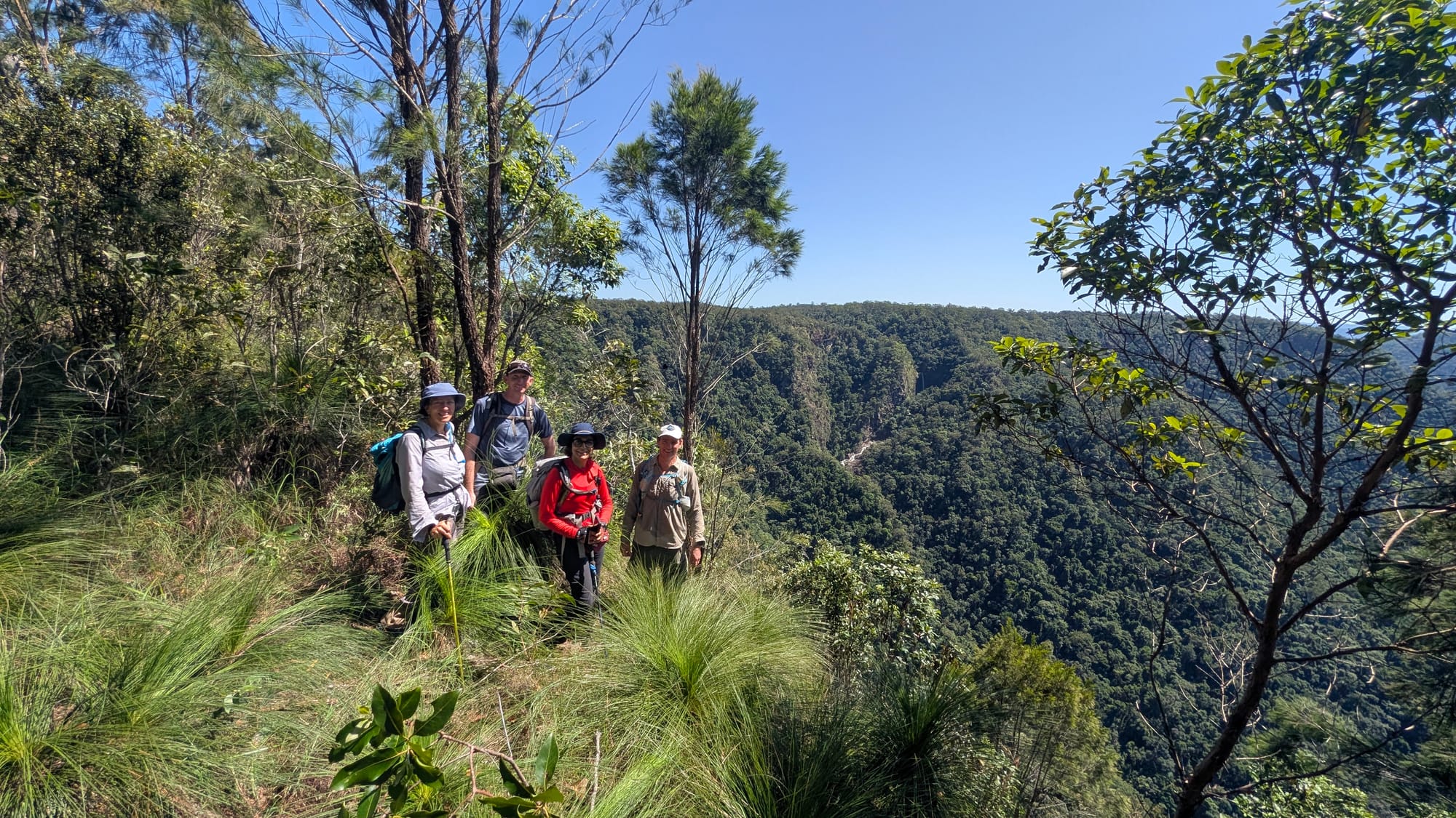
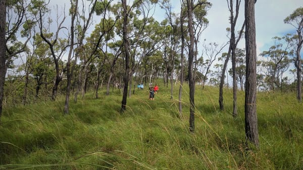
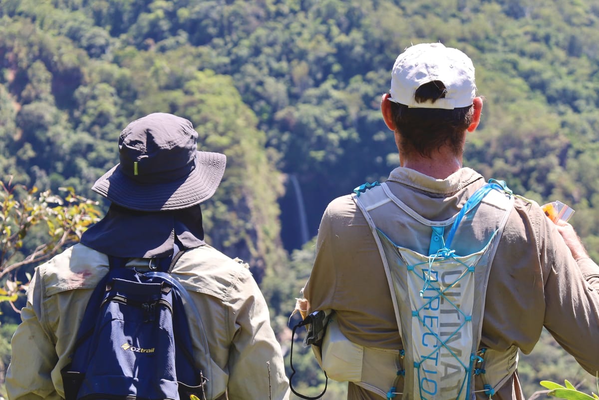
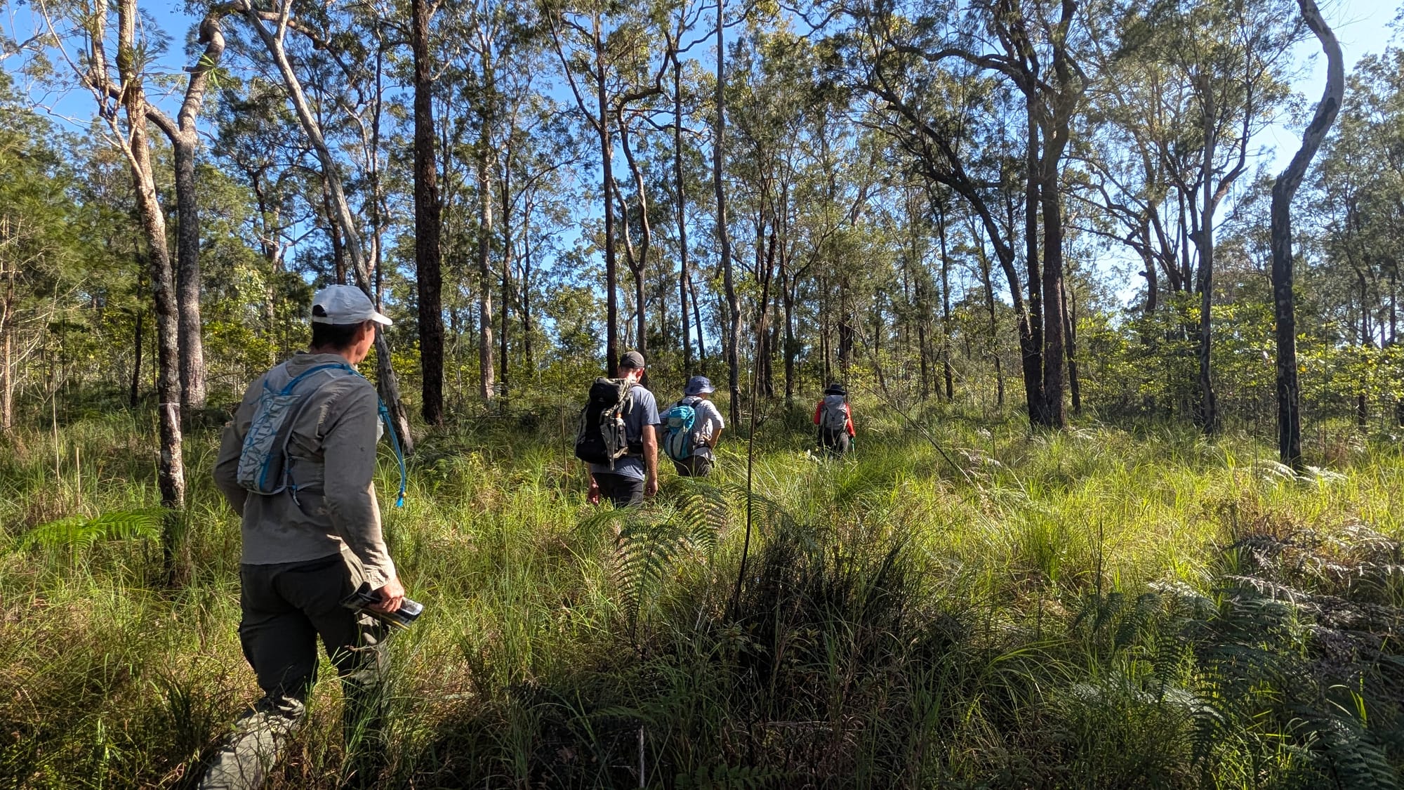
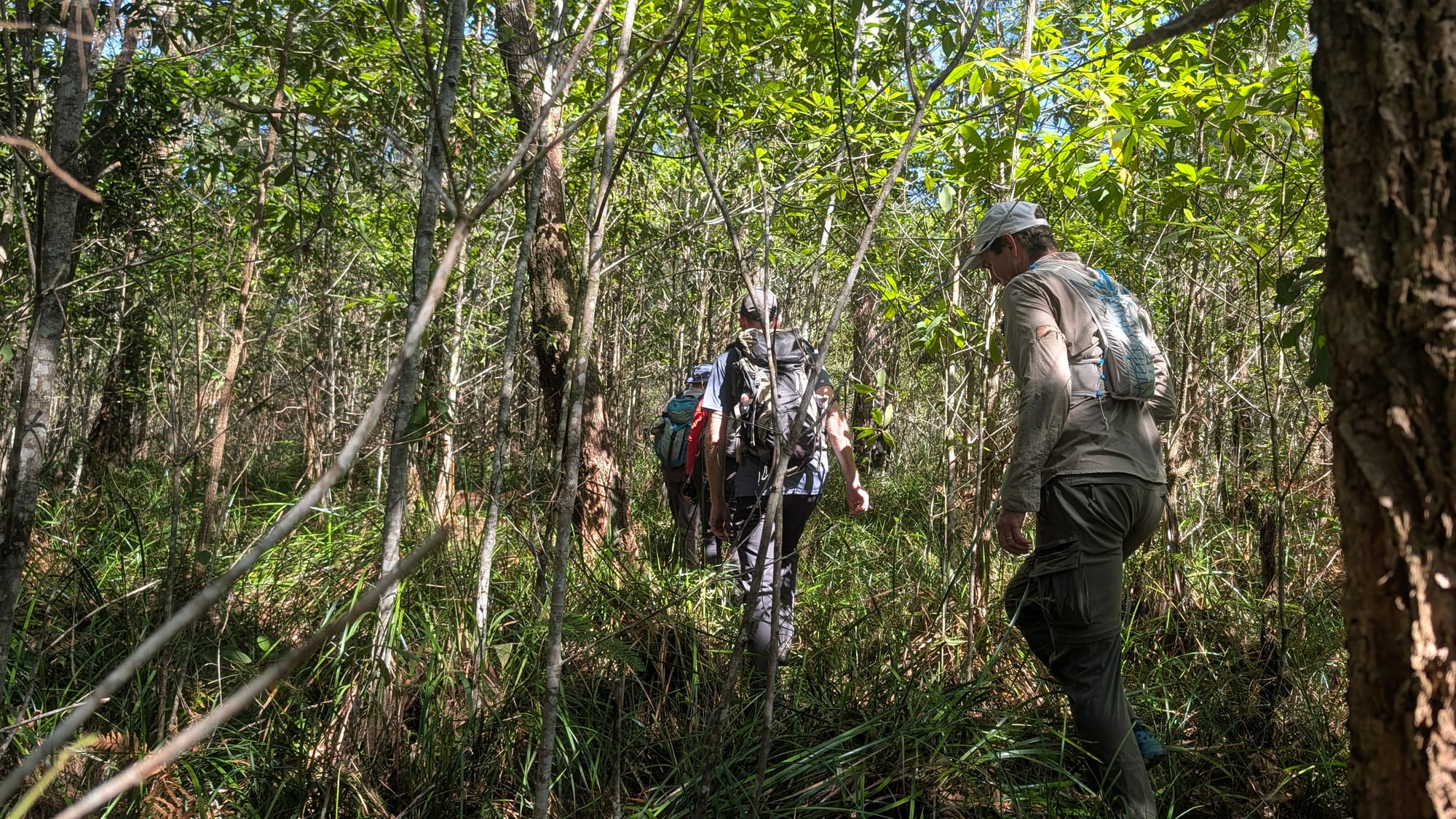
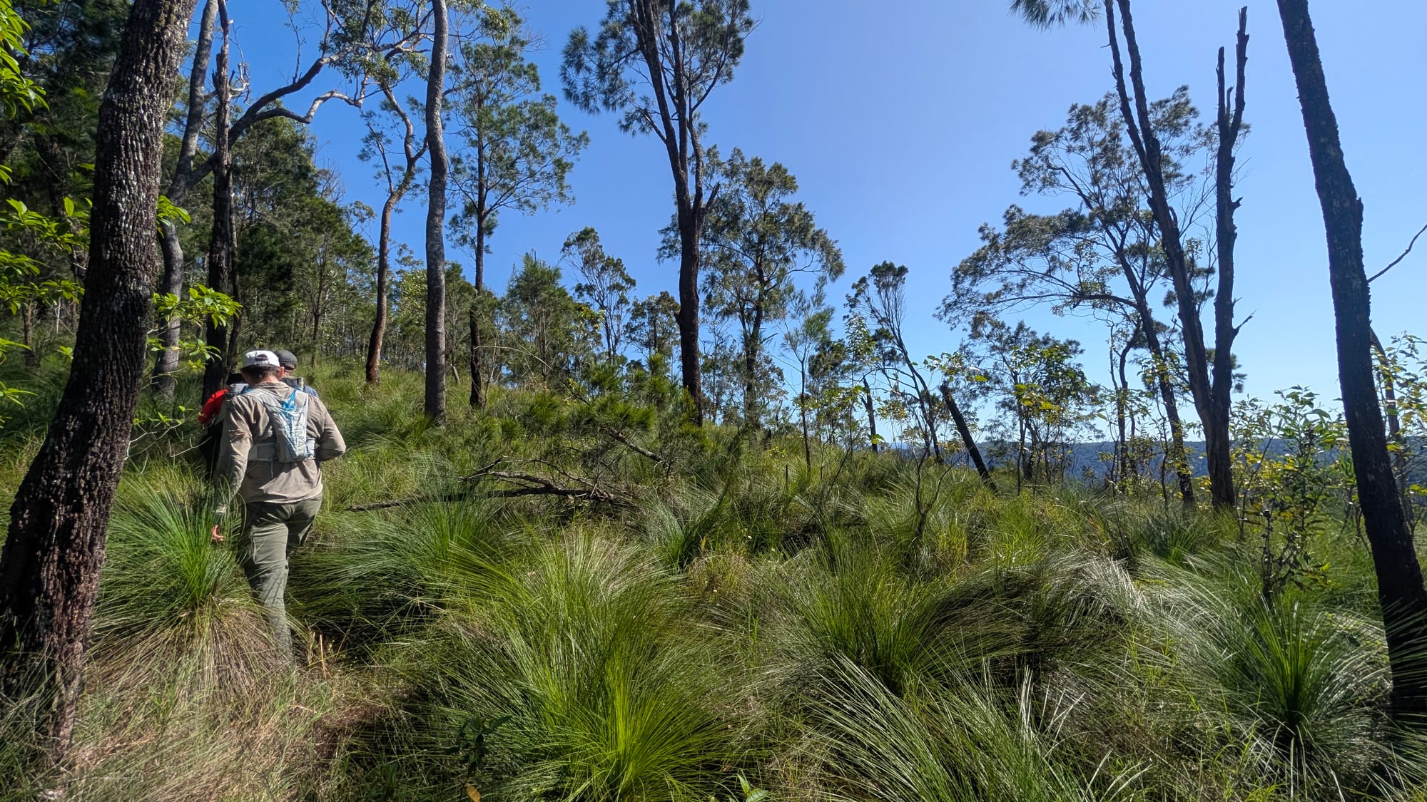
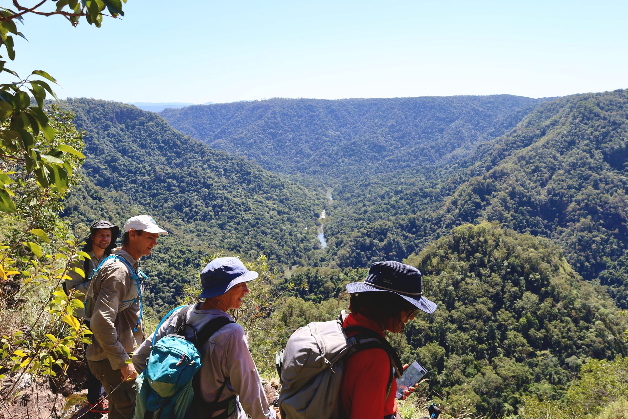
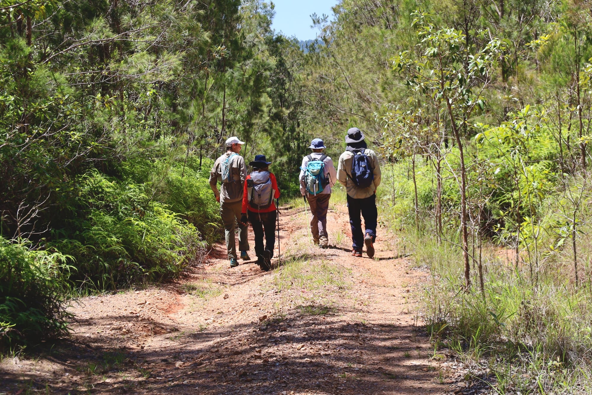
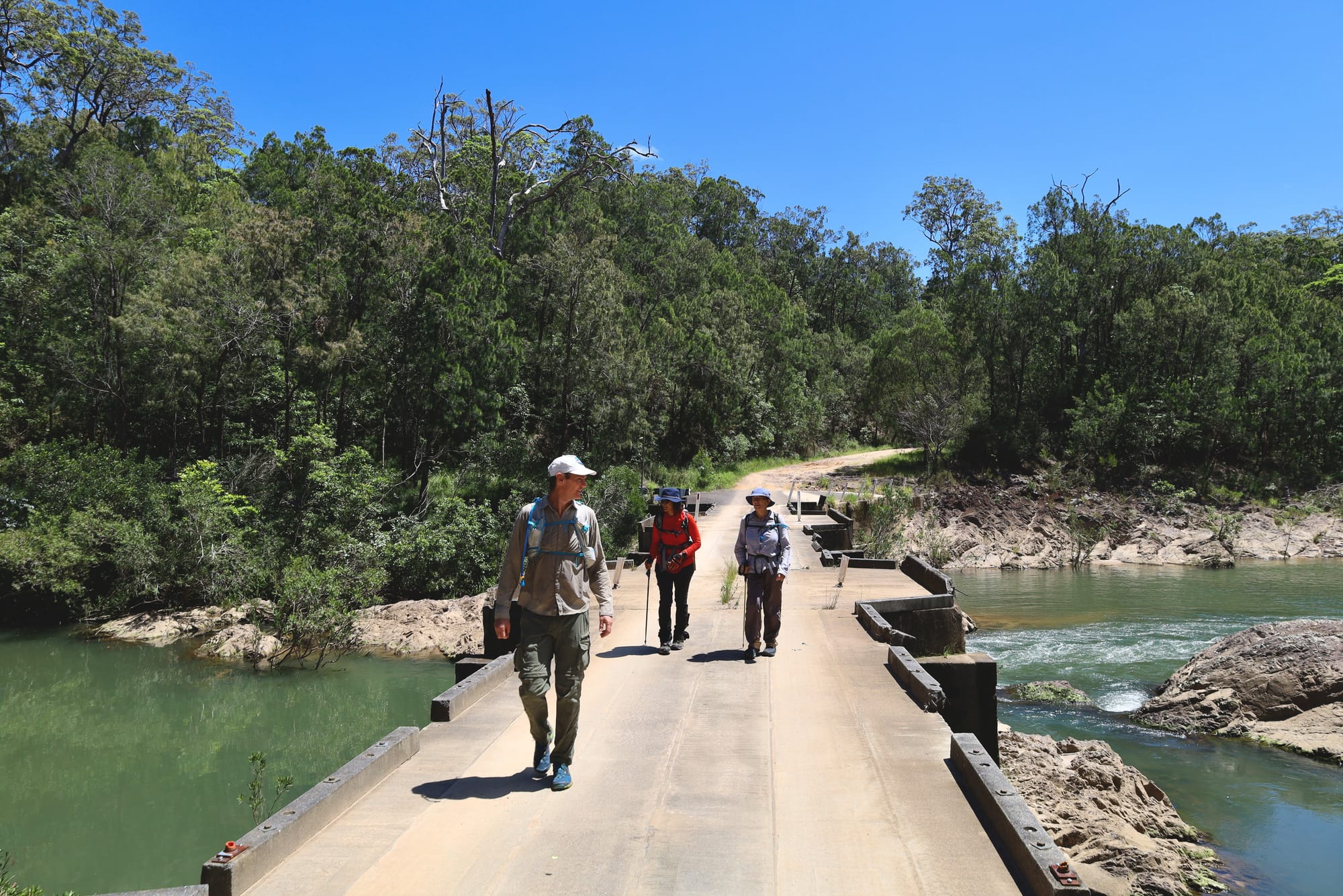
With a small group made up of members genuinely interested in leading future Club walks, the day focused on building confidence in off-track navigation, decision-making, pacing, and group management in real terrain. We met at the Wallaman camping area at 8 am and set off under good conditions for a half-day circuit of about 5 km, including roughly 2 km off track and 3 km on road, and finished at midday just in time for lunch.
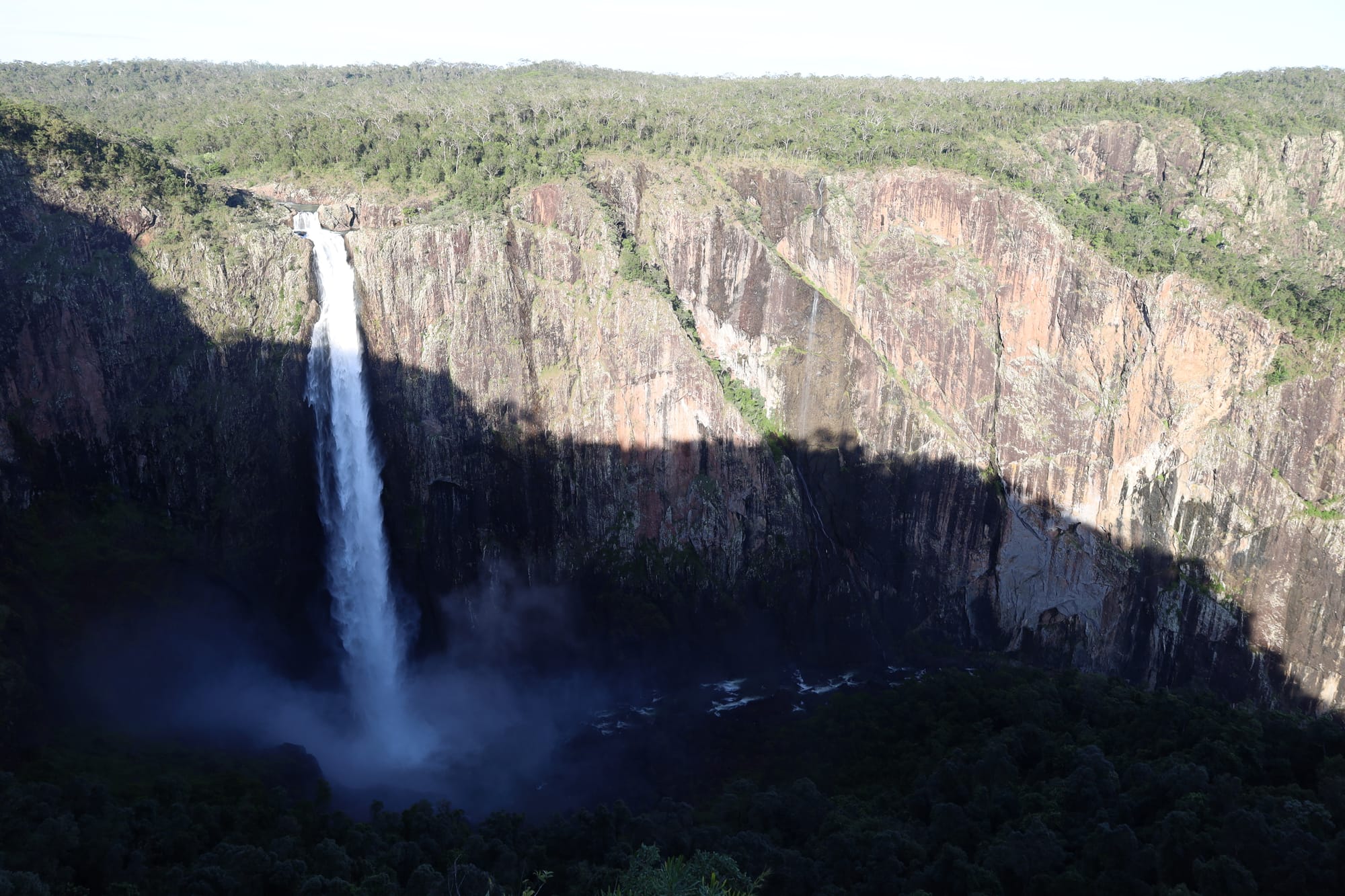
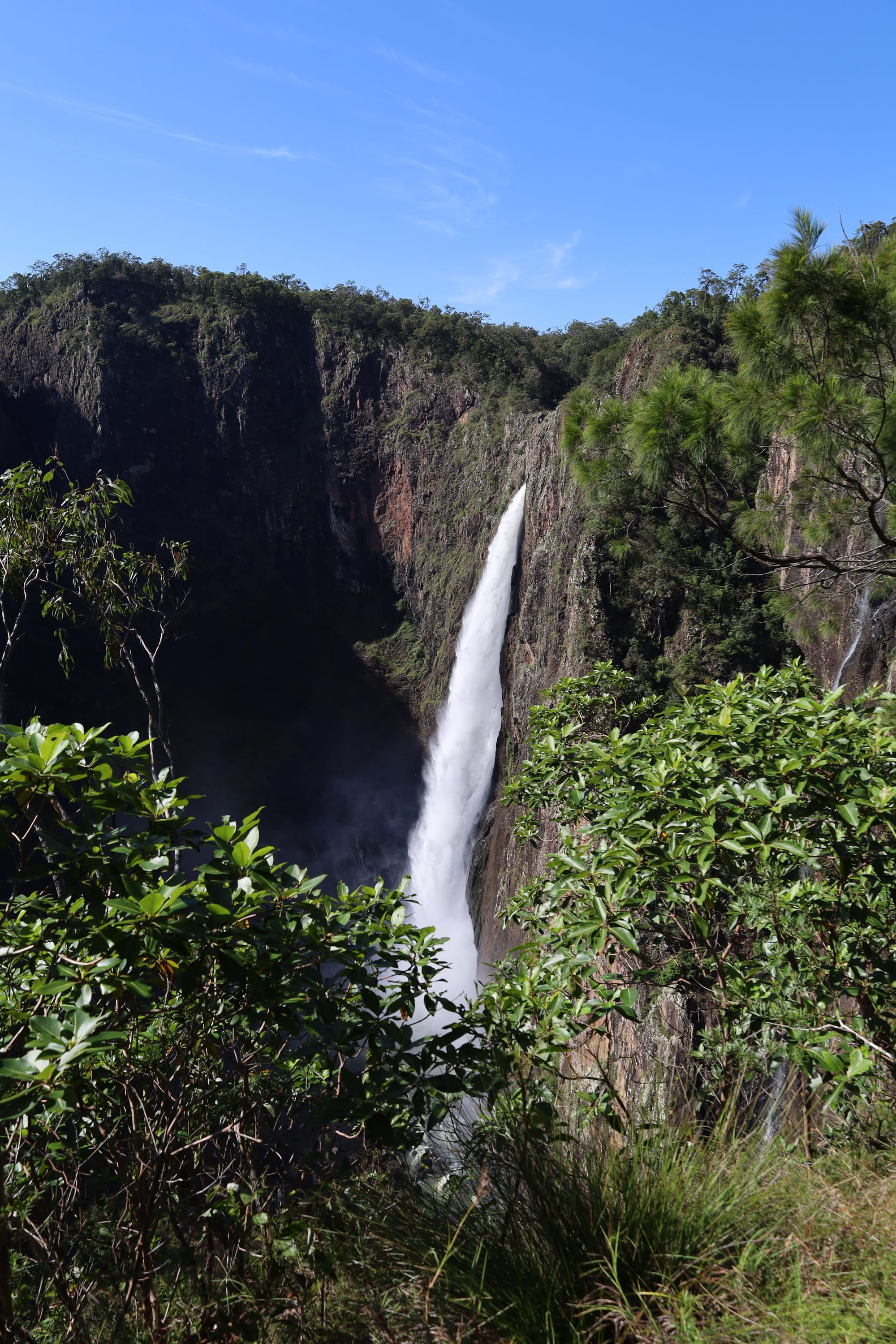
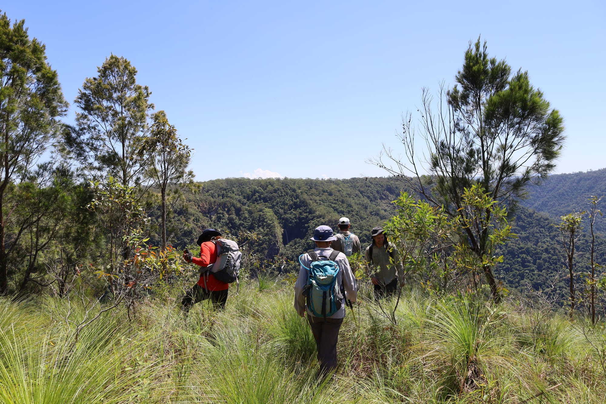
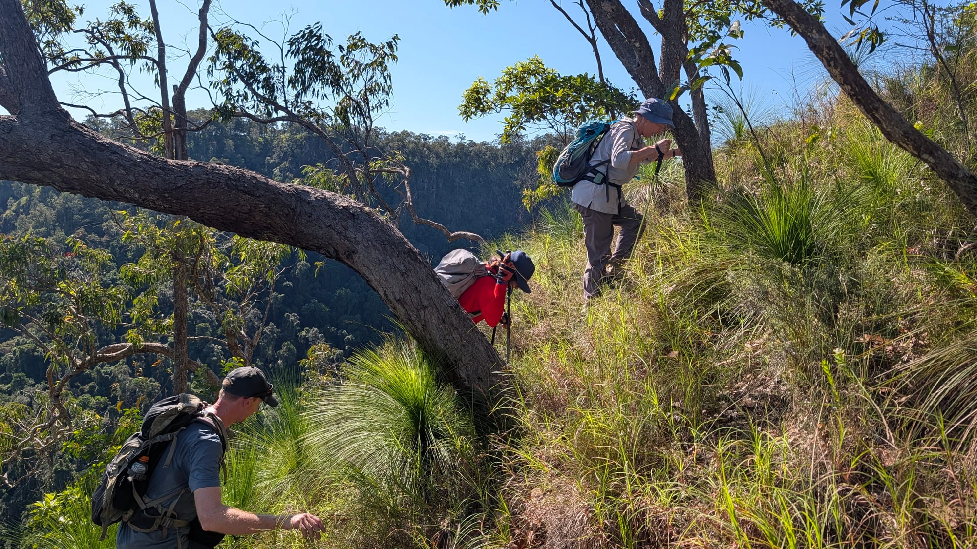
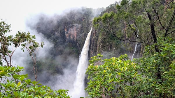
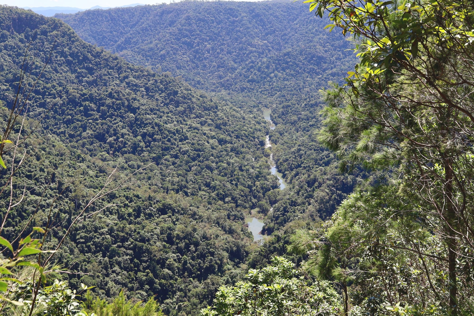
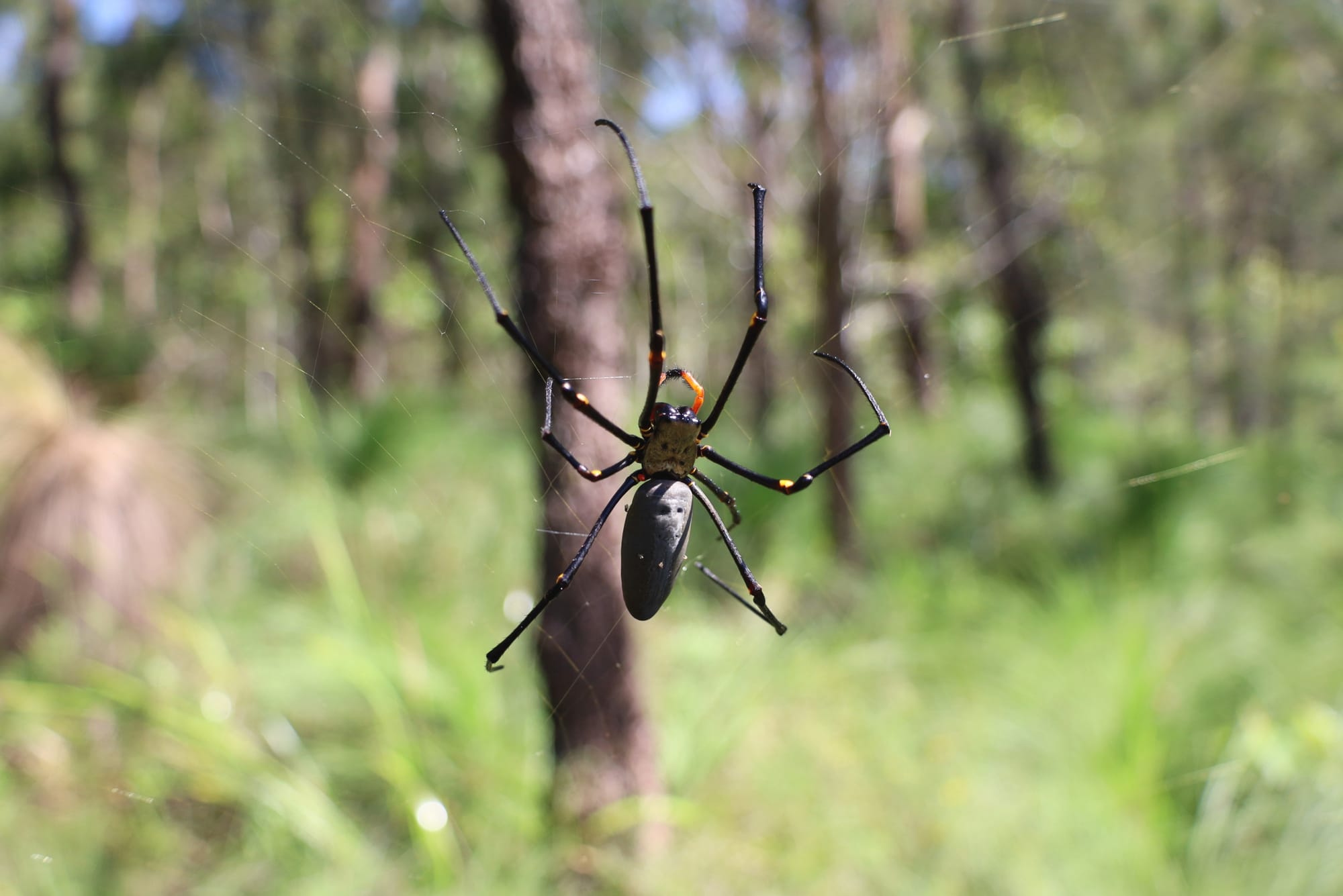
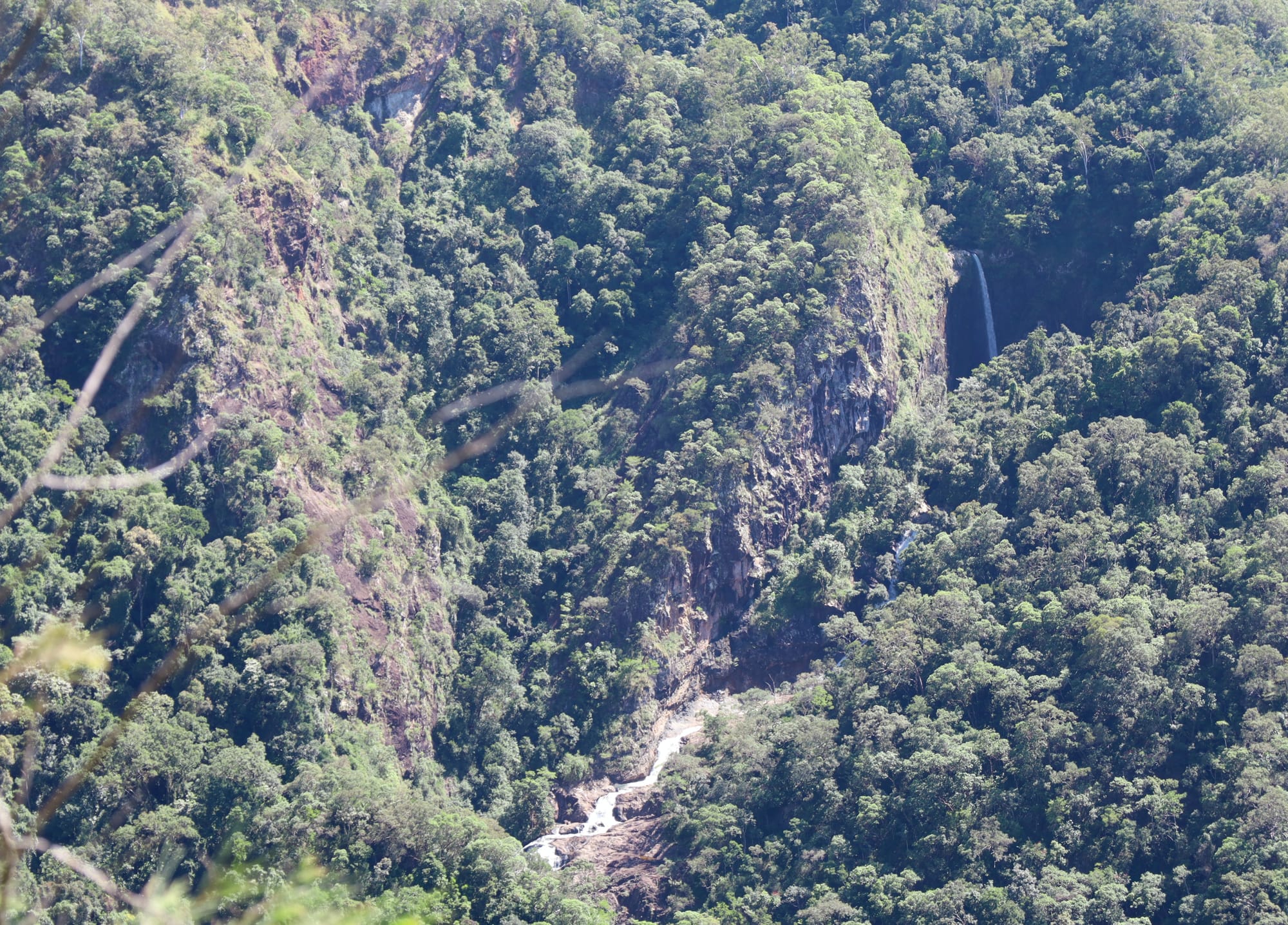
The area was looking surprisingly good. Small streams were still flowing well and spilling dramatically off the escarpment, dropping around 200 m into the country below. One unexpected feature of the day was the number of leeches. For open bushland in dry conditions, there were a lot more than any of us expected.
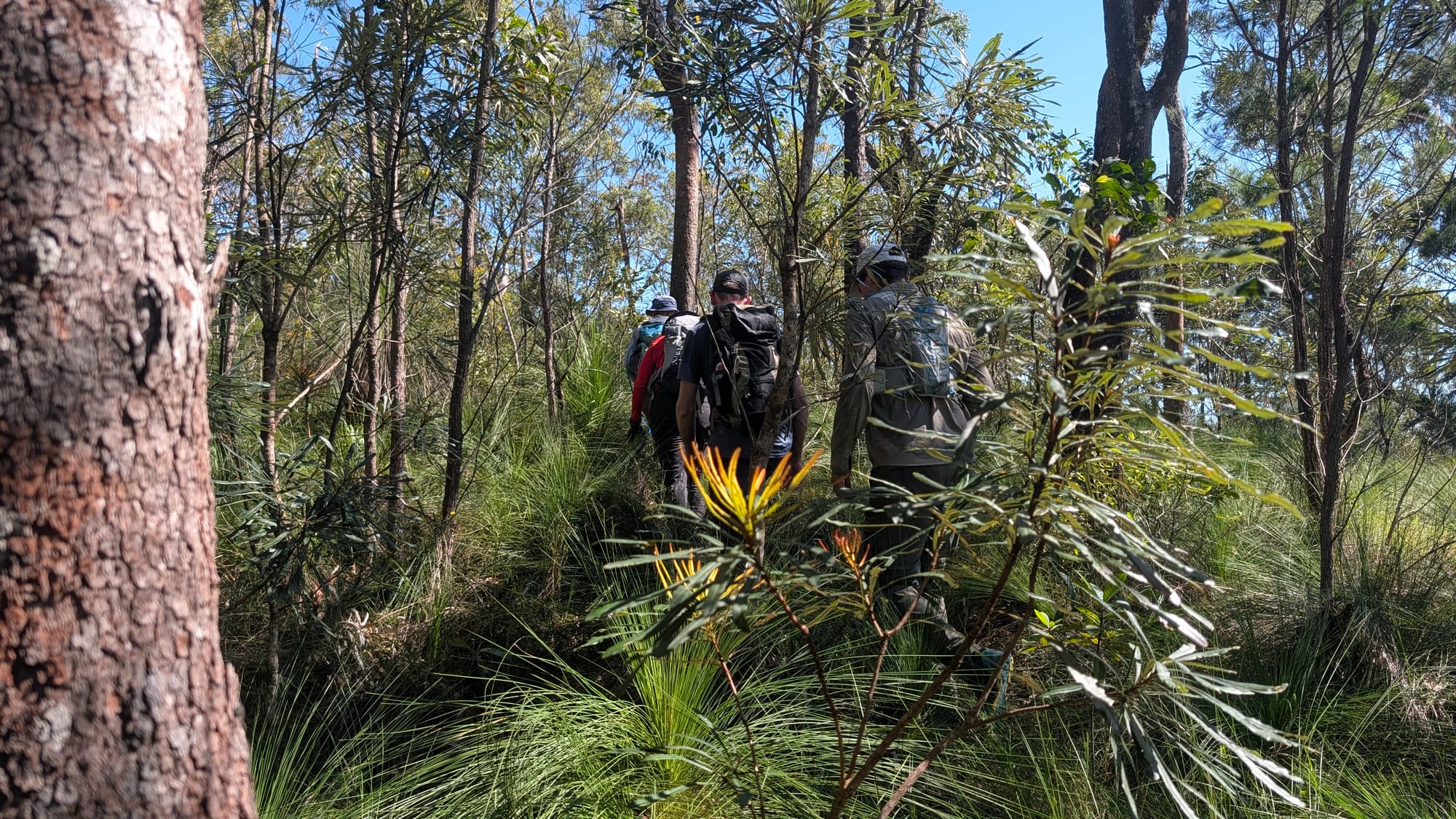
The day was split into three parts. The first section involved following a GPX track, a rough footpad, and pink tape. This proved straightforward enough and gave everyone a chance to settle in, compare what they could see on the ground with what appeared on their devices, and start thinking about route choice in a practical setting.
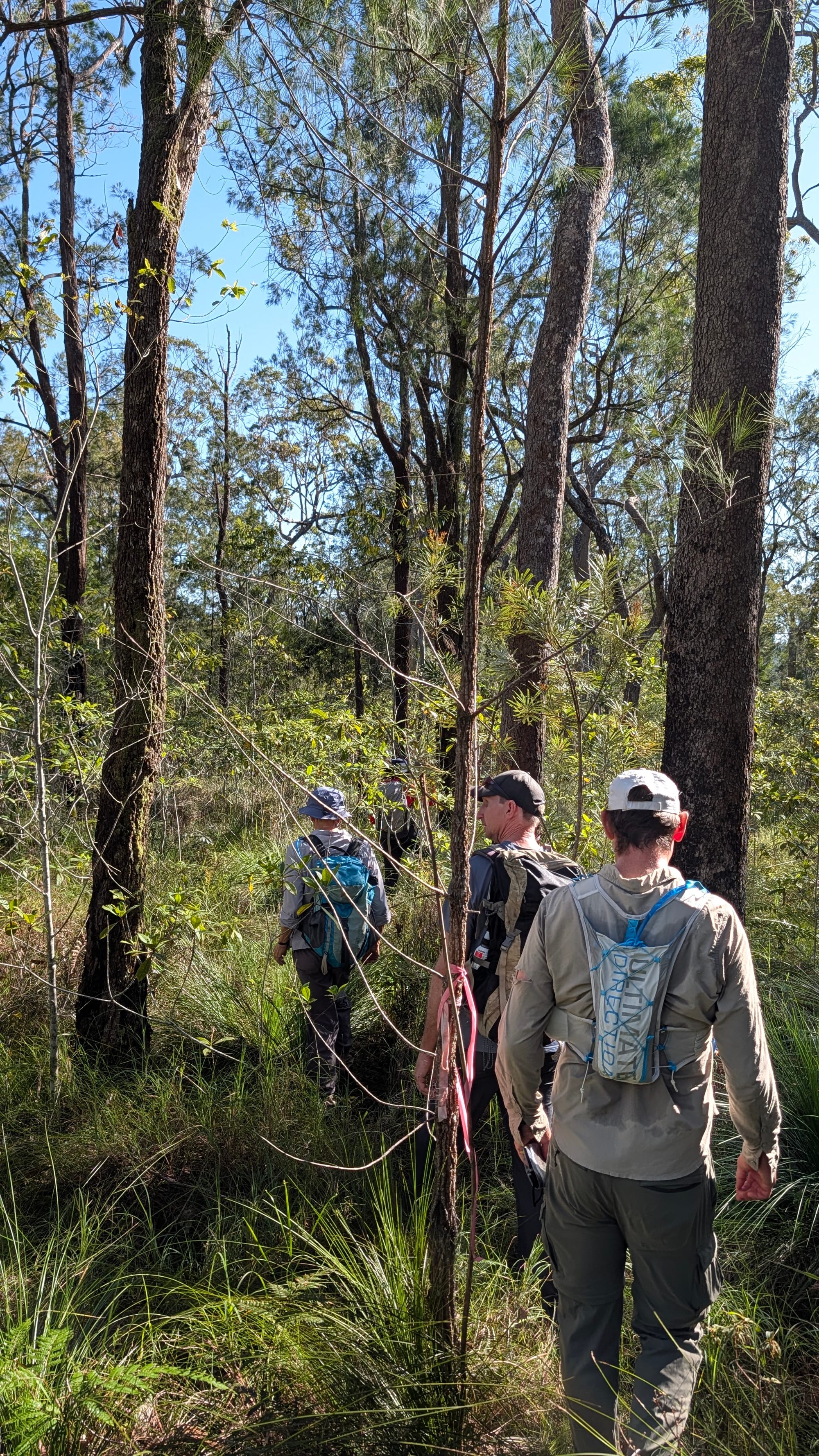
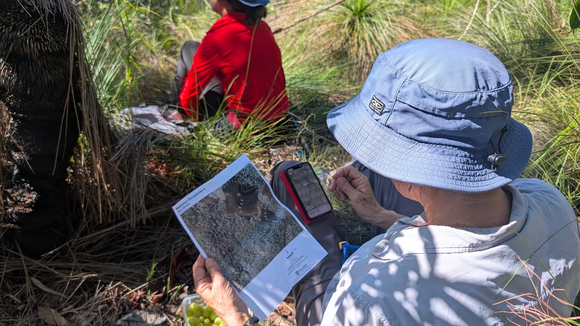
The second section was more challenging. There was no tape and no GPX file, so we had to rely more heavily on topo maps, aerial imagery, observation, and judgment while generally following the escarpment through the bush. This was exactly the sort of terrain the day was designed for - manageable, but still requiring thought. The contours and creeks in that area were not mapped especially well, which made things more interesting. Hopefully, one day, some better LiDAR data will become available for that country, because there is certainly plenty happening on the ground that the current mapping does not show clearly.
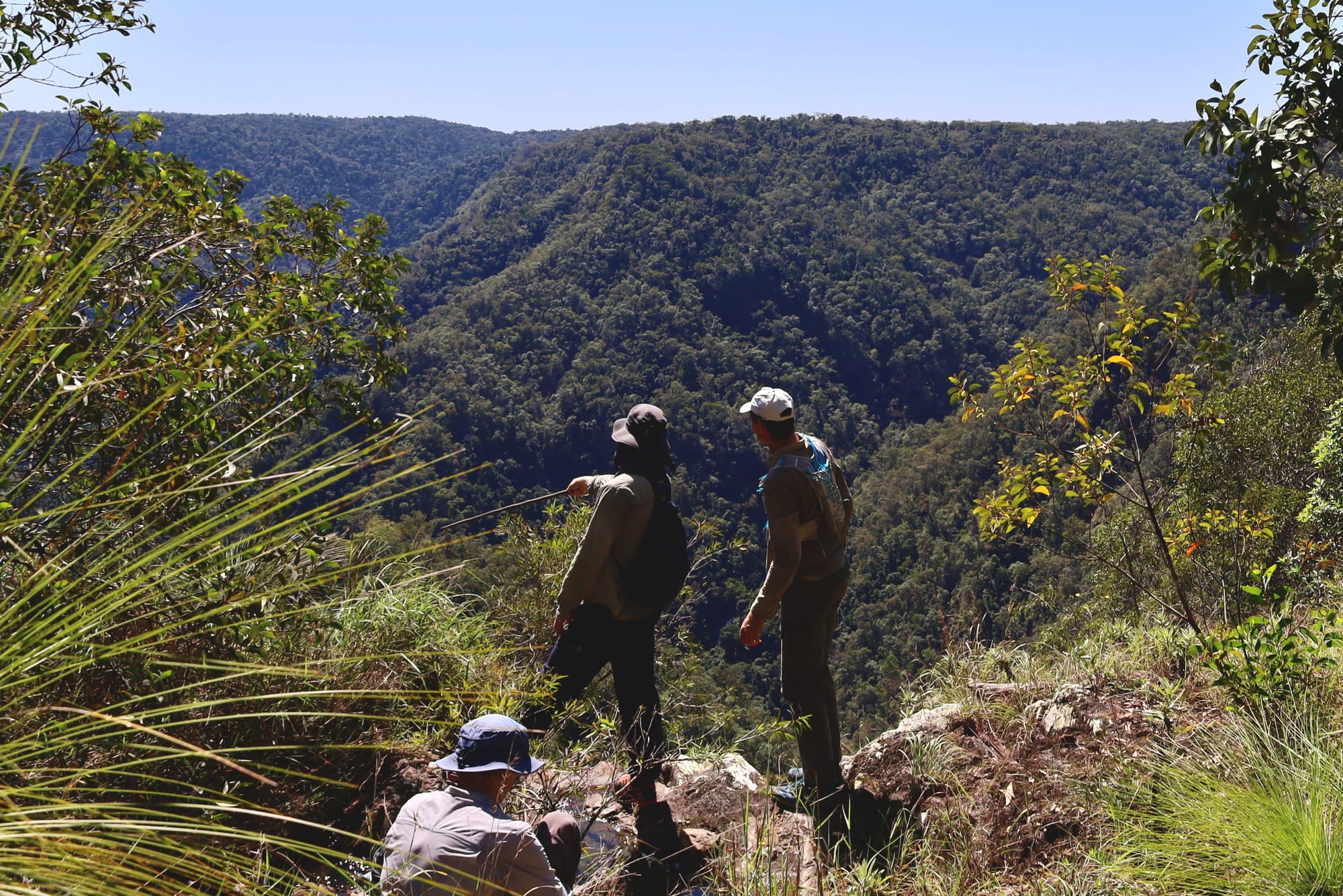
The third part of the day was set aside for traditional map-and-compass navigation. This brought some comedy early on when Luen proudly produced a brand-new compass, only to discover it was a nautical-mile military compass rather than one marked in degrees. A good reminder to read online listings more carefully next time. At least north still pointed north.
Thankfully, Adrian Garnett from the Totally Tropical Orienteering Club was on hand to show us how to navigate properly with a map and a compass, and to share some useful tips and tricks. It was a great refresher, and also built nicely on skills many of us had learnt previously from Mitch Nissen during some of the Club's earlier navigation trips in Clemant State Forest.
For the final exercise, we chose a bearing and headed straight back towards the road. It was a fun and confidence-building way to finish the day, and everyone did very well. By the end, the group had not only practised several different navigation methods, but had also gained a better feel for leading in off-track terrain and making decisions as a team. The Learn to Lead concept worked well, the terrain suited the purpose perfectly, and everyone came away having built skills and confidence. A strong step towards refreshing skills and creating capable, future walk leaders for the Townsville Bushwalking Club.
- Luen
Photos by Brent & Luen