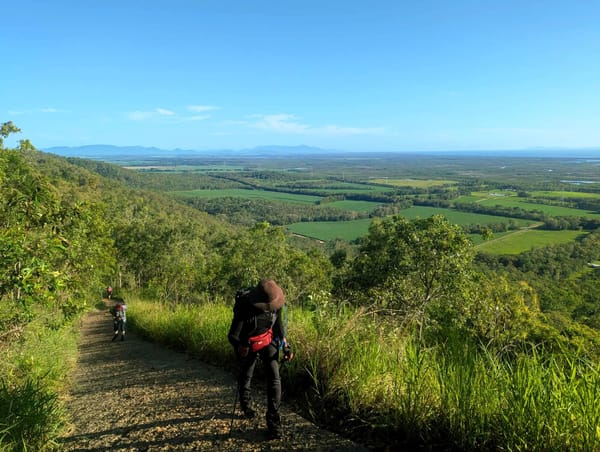
A Plea For The Mountains
A 1982 “Plea for the Mountains” celebrates North Queensland peaks like Fredericks, Mt Abbot, Station Hill, Godwins Peak and Mt Cataract. With routes, water tips, and challenges from scunge to scree, this bushwalking log urges hikers to embrace the effort for summit views and adventure.
July 1982.
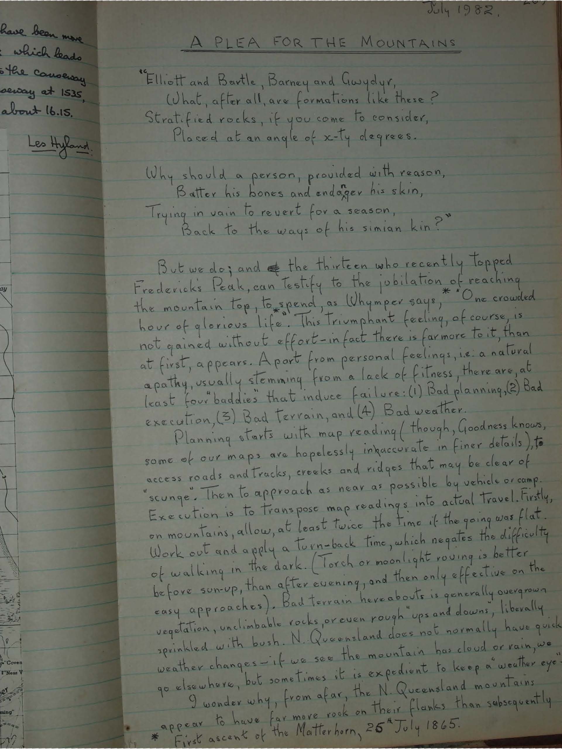
A PLEA FOR THE MOUNTAINS
"Elliott and Bartle, Barney and Gwydyr,
What, after all, are formations like these?
Stratified rocks, if you come to consider,
Placed at an angle of x-ty degrees.
Why should a person, provided with reason,
Batter his bones and endager his skin,
Trying in vain to revert for a season,
Back to the ways of his simian kin?"
But we do; and the thirteen who recently topped Fredericks Peak, can testify to the jubilation of reaching the mountain top, to spend, as Whymper says,* "One crowded hour of glorious life." This triumphant feeling, of course, is not gained without effort - in fact there is far more to it, than at first, appears. Apart from personal feelings, i.e. a natural apathy, usually stemming from a lack of fitness, there are, at least four "baddies" that induce failure: (1) Bad planning, (2) Bad execution, (3) Bad terrain, and (4) Bad weather.
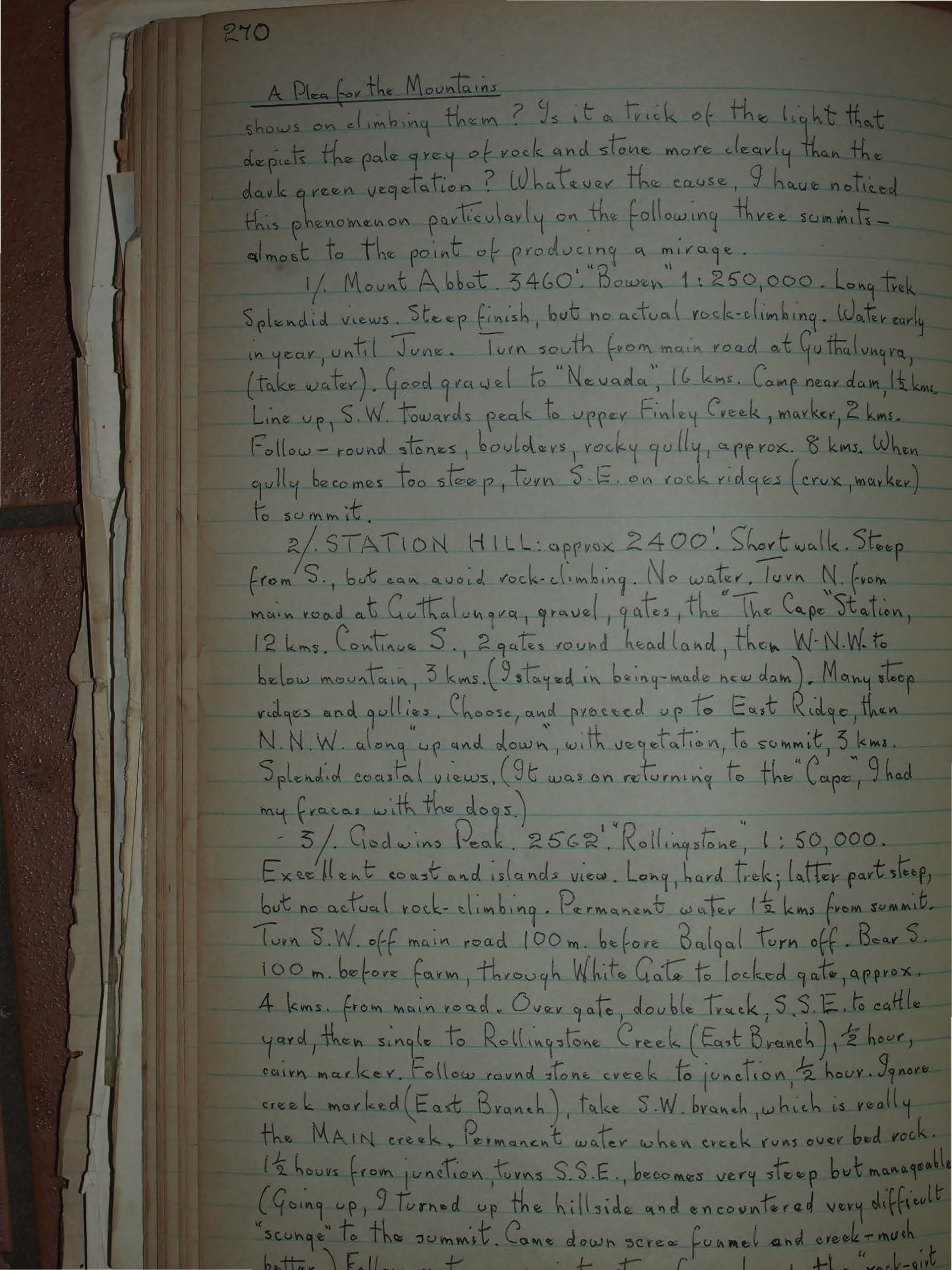
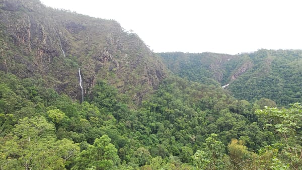
Planning starts with map reading (though, Goodness knows, some of our maps are hopelessly inaccurate in finer details), to access roads and tracks, creeks and ridges that may be clear of "scunge". Then to approach as near as possible by vehicle or camp. Execution is to transpose map readings into actual travel. Firstly, on mountains, allow, at least twice the time if the going was flat. Work out and apply a turn-back time, which negates the difficulty of walking in the dark. (Torch or moonlight roving is better before sun-up, than after evening, and then only effective on the easy approaches). Bad terrain hereabouts is generally overgrown vegetation, unclimbable rocks, or even rough ups and downs, liberally sprinkled with bush. N. Queensland does not normally have quick weather changes - if we see the mountain has cloud or rain, we go elsewhere, but sometimes it is expedient to keep a "weather eye". I wonder why, from afar, the N. Queensland mountains appear to have far more rock on their flanks than subsequently shows on climbing them? Is it a trick of the light that depicts the pale grey of rock and stone more clearly than the dark green vegetation? Whatever the cause, I have noticed this phenomenon particularly on the following three summits - almost to the point of producing a mirage.
*First ascent of the Matterhorn, 25th July 1865.
1/. Mount Abbot. 3460'. "Bowen" 1:250,000. Long trek. Splendid views. Steep finish, but no actual rock-climbing. Water early in year, until June. Turn south from main road at Guthalungra, (Take water). Good gravel to "Nevada", 16 kms. Camp near dam, 1 1/2 kms. Line up, S.W. towards peak to upper Finley Creek, marker, 2kms. Follow - round stones, boulders, rocky qully, approx. 8 kms. When qully becomes too steep, turn S.E. on rock ridges (crux, marker) to summit.
2/. STATION HILL: approx 2400'. Short walk. Steep from S., but can avoid rock-climbing. No water. Turn N. from main road at Guthalungra, gravel, gates, the "The Cape Station, 12 kms. Continue S., 2 gates round headland, then W.N.W. to below mountain, 3 kms. (I stayed in being-made new dam). Many steep ridges and gullies. Choose, and proceed up to East Ridge, then N.N.W. along up and down, with vegetation, to summit, 3 kms. Splendid coastal views. (It was on returning to the "Cape", I had my fracas with the dogs.)
3/. Godwins Peak. 2562''. "Rollingstone", 1:50,000. Excellent coast and islands view. Long, hard trek; latter part steep, but no actual rock-climbing. Permanent water 1 1/2 kms from summit. Turn S.W. off main road 100 m. before Balgal turn off. Bear S. 100 m. before farm, through White Gate to locked gate, approx. 4 kms. from main road. Over gate, double track, S.S.E. to cattle yard, then single to Rollingstone Creek (East Branch), 1/2 hour, cairn marker. Follow round stone creek to junction, 1/2 hour. Ignore creek marked (East Branch), take S.W. branch, which is really the MAIN creek. Permanent water when creek runs over bed rock. 1 1/2 hours from junction, turns S.S.E., becomes very steep but manageable. (Going up, I turned up the hillside and encountered very difficult "scunge" to the summit. Came down scree funnel and creek - much better.) Follow up to a point where I could see the "rock-girt crown" is just ahead.
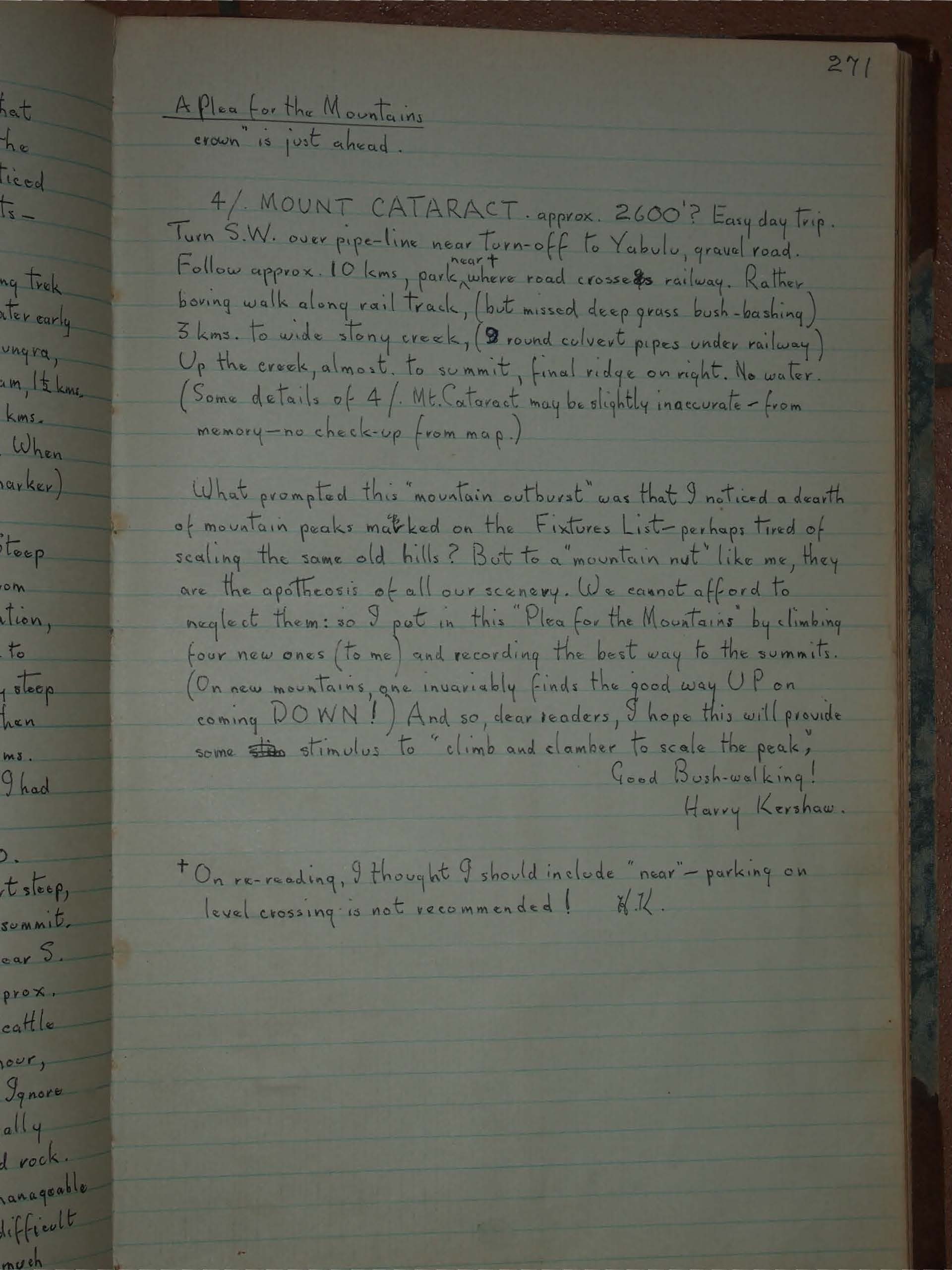
4/ MOUNT CATARACT. approx. 2600'? Easy day trip. Turn S.W. over pipe-line near Turn-off to Yabulu, gravel road. Follow approx. 10 kms, park near+ where road crosses railway. Rather boring walk along rail track, (but missed deep grass bush-bashing) 3 kms. to wide stony creek, (9 round culvert pipes under railway) Up the creek, almost, to summit, final ridge on right. No water. (Some details of 4/ Mt. Cataract may be slightly inaccurate - from memory - no check-up from map.)
What prompted this "mountain outburst" was that I noticed a dearth of mountain peaks marked on the Fixtures List - perhaps tired of scaling the same old hills? But to a "mountain nut" like me, they are the apotheosis of all our scenery. We cannot afford to neglect them: so I put in this "Plea for the Mountains" by climbing four new ones (to me) and recording the best way to the summits. (On new mountains, one invariably finds the good way UP on coming DOWN!) And so, dear readers, I hope this will provide some ^new stimulus to "climb and clamber to scale the peak," Good Bush-walking!
Harry Kershaw.
+On re-reading, I thought I should include "near" - parking on level crossing is not recommended!
HK.
