Trip Report - Into the Herbert Gorge by Dugout Canoe
In 1961, Townsville Bushwalking Club members paddled a dugout canoe 40 miles up the Herbert River Gorge, navigating rapids, camping on riverbanks, and exploring steep rainforest cliffs. A classic North Queensland canoe adventure into Herbert Gorge's wild beauty.
Location:- Herbert River, between Herbert Vale and Yamanie Creek.
Date- 30 & 31 Dec 1961 & 1 Jan 1962.
Party- Peter Hetherington and Roy Lane
Style of outing- canoe journey.
Rating- easy.
Transport- Land Rover. Provided by Roy Lane.
Distance travelled by vehicle- 100 miles each way.
Distance covered in canoe- 40 miles.
Map used- 4 mile Ingham sheet.
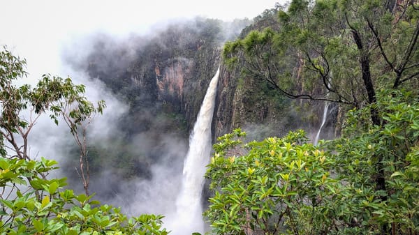
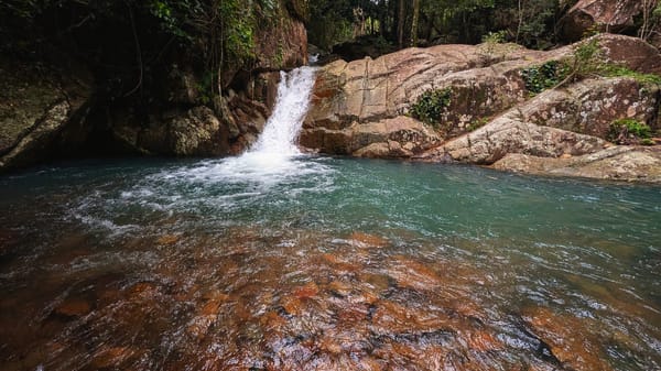
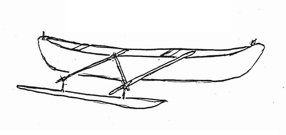
By 4:30 P.M. Peter and I had assembled the outrigger canoe, and pushed off from Herbert Vale, in the Ingham district of North Queensland. This was Saturday 30 Dec 1961 and our objective was the Herbert Gorge, which begins 14 miles upstream, and runs northwards for some 33 miles, ending at the Herbert Falls. At dusk we pitched camp at the lower end of a long rapid, which we estimate is near the island at 685375 on the chart. As with the other islands which this sheet shows at Herbert Vale we did not find it. Perhaps it is only exposed at times of high water back. In the morning we struck camp at 7AM and straight away began to pick our way up the long series of rapids. This one is now 300 yards long and is the largest encounter in the whole journey. It is an easy one to "short" being swift and narrow and deep, with no shark falls and none of the curse of the canoeist, ti-tree branches, in the water.
By lunch time (1.15 PM) we had reached 3 miles inside the Gorge, after portaging at the rapids at Mamanie Creek junction.
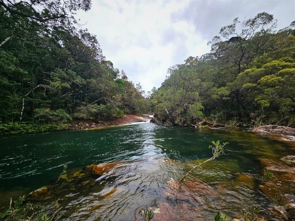
It was a very green and pretty spot when we boiled the billy, on the bank of the pool above Yamanie Creek.
During this morning we had had to portage 3 times, but only a few yards at each. There were many other options and these were dealt with by either –
- Walking in the water with the canoe, a very painful process on the feet, with the rocks so slippery.
- Tying a rope, made fast fore and aft, to control the canoe, and make it plane with the centre of the fast flowing water. This way, a canoe can be made to walk almost abreast of one, even in the fastest water.
After an hour we resumed our efforts and paddled continuously and steadily upstream against the increasing speed of the current. For two hours we pushed against the eddying and rock-strewn water, and rapid up one further rough rapid.
A good campsite hove into view around 4.30 PM and here we succumbed to temptation and pitched camp, after 8 hours of canoe handling. We were now 5 miles inside the Gorge; the sides being very steep, and according to the chart, 2000 feet high. Estimated Position 703364. Looking northwards and upstream we could see a jumble of cliffs peeping round the corner, but we did not have a clear look.
When Peter boiled the billy, I cut a straight sapling and lashed it out the outrigger as an extra brace in anticipation of maybe collecting a rock or two on the way down the rapids in the morning. We had a good strong stew for tea; and were again lulled to sleep by the incessant roar of the rapids, as the river worried its way over countless aeons on the rocks. At night the sound of the rapids takes on a sinister aspect, and one can feel glad to be snuggled up in the old sleeping bag on firm ground. We slept well and woke early.
In midstream by 7 AM we alternately cursed and cajoled the old canoe as we picked our way downstream amongst the rocks in the fast-flowing stretch above Umanie Creek.
At this time the mountain tops were hidden in clouds, and it was quite a thing to see these vast masses of vapour pouring between gaps in the mountain range on both sides, and creeping down into the gorge. By and by it rained a little.
The journey downstream was fast and easy - a little strenuous, but no great difficulty with the canoe. We covered the 20 miles in 4 1/2 hours of actual travelling time, shooting nearly all rapids. A few had to be portaged (notably the one at Yamarie Creek junction) and one were "lined-down" (passed down on a rope).
Back at the Rover at 1:45 Pm we set a billy to boil while loading the gear. We were back in Soroworth at 6:30 Pm.
So sum up, the river was in perfect canoeing condition, just the right flow of water for a quiet and safe journey. It should provide some excellent "white water" rapids in times of higher water.
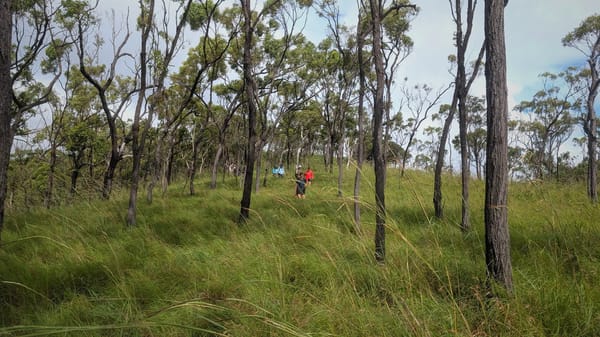
With the observations made on this exploratory trip, and the walk which Graham, Peter, and I did in the Blencoe Falls area, I can see the possibility of a large expedition from Blencoe Falls to Long Pocket or even Bluffoe. There would be plenty of water to negotiate the Gorge. From Blencoe Falls to Bluffoe is about 75 miles, and would make a good 3 day journey.
I wonder if anyone will do it this year.
Ray Lane.