A Longer Walk to the (Wrong) Pub
Mount Cook bushwalk on Magnetic Island: steep climbs, overgrown tracks, stinging trees, and creek descents. A long adventure that ended at the wrong pub—but with the right cold drinks after 12 hours on the trail.
Mount Cook and Peaks
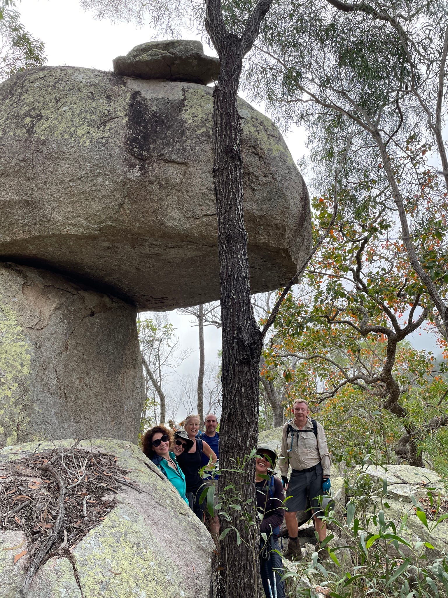
With Keith, Mark, Janice, Ildiko, Charmain, & Marjolein.
A few weeks ago, the club decided to walk to the highest peak on Magnetic Island, Mount Cook.
The reports said the track from the water tank at the back of Nelly Bay was relatively easy now, having been cleared again and pink-taped by previous trailblazers. We had a plan (albeit a vague one), to take this track to the top, but return by a different track. (Obviously ya can’t go back by the same route: The club has a reputation to uphold!)
One option was to return to the back of Nelly Bay by following one of the creeks down, which some of us had done before. Another option was to emulate a famous previous club walk following Endeavour Creek to Horseshoe Bay, ending at the pub there.
Here is the write-up for that walk:
https://bushwalk.com/forum/viewtopic.php?f=48&t=22561
We felt if we found it was really tough going, we might have to take a late ferry, even possibly as late as the 6:35pm!! (But obviously that’s unlikely since we are swift and efficient walkers.)
There were seven of us on this walk. Spookily enough, that was the exact same number as on the previous club Mount Cook walk, which resulted in A Long Walk to the Pub.
We should have realised it was going to be an eventful day when we all arrived early to catch the 6:30am ferry, but the ticket office was closed, and it stayed closed. After waiting around outside, all us ticketless passengers could do was board the ferry, and buy tickets while on board. Is this a new ferry fare purchase system?
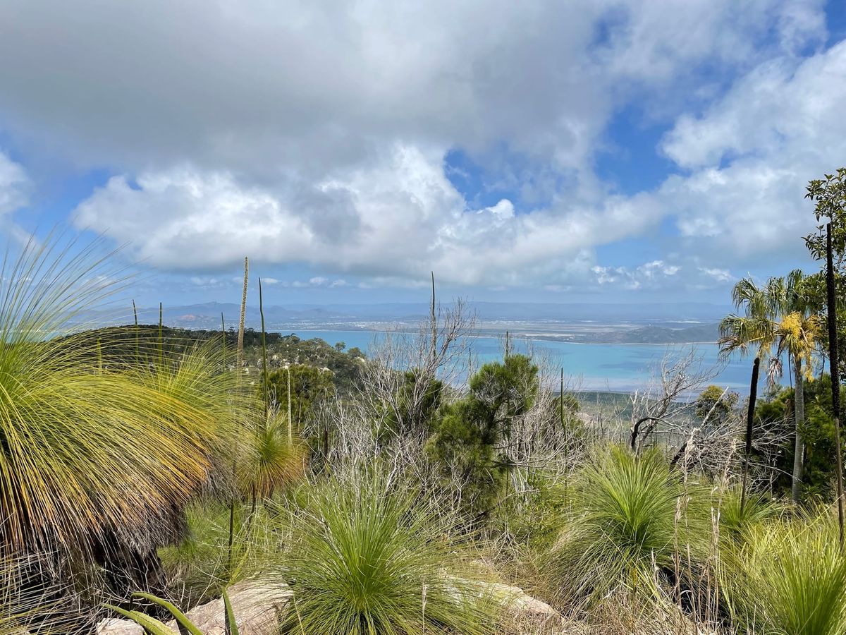
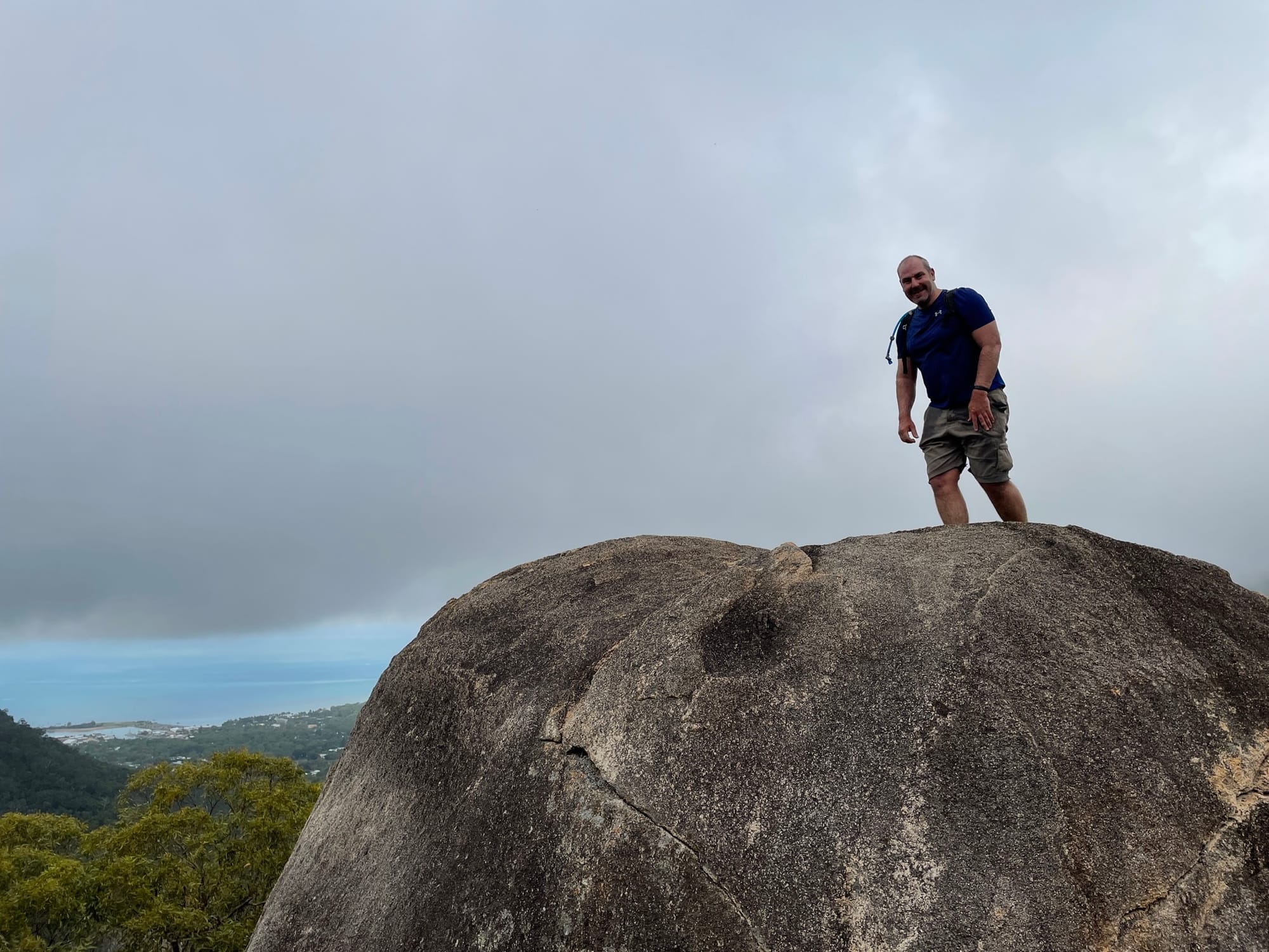
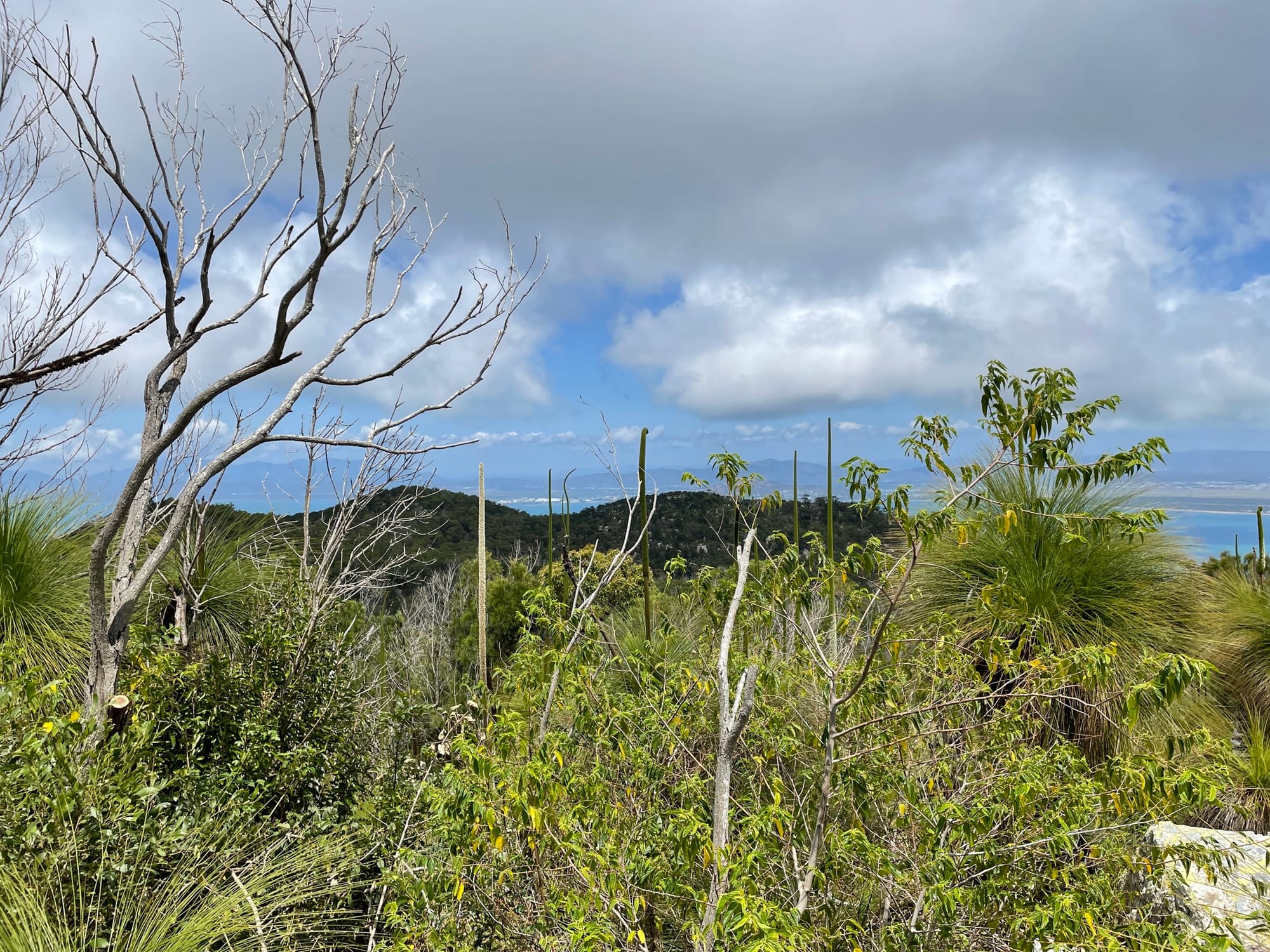
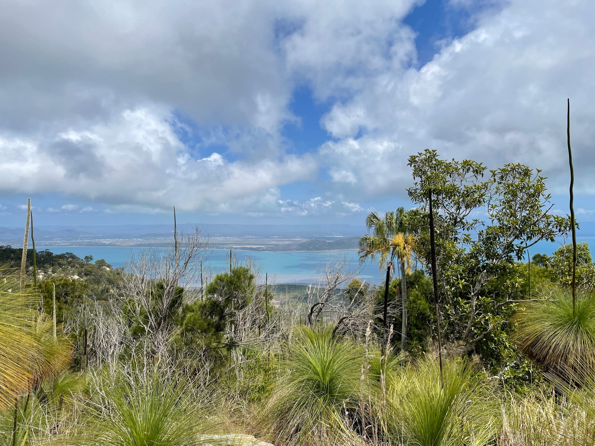
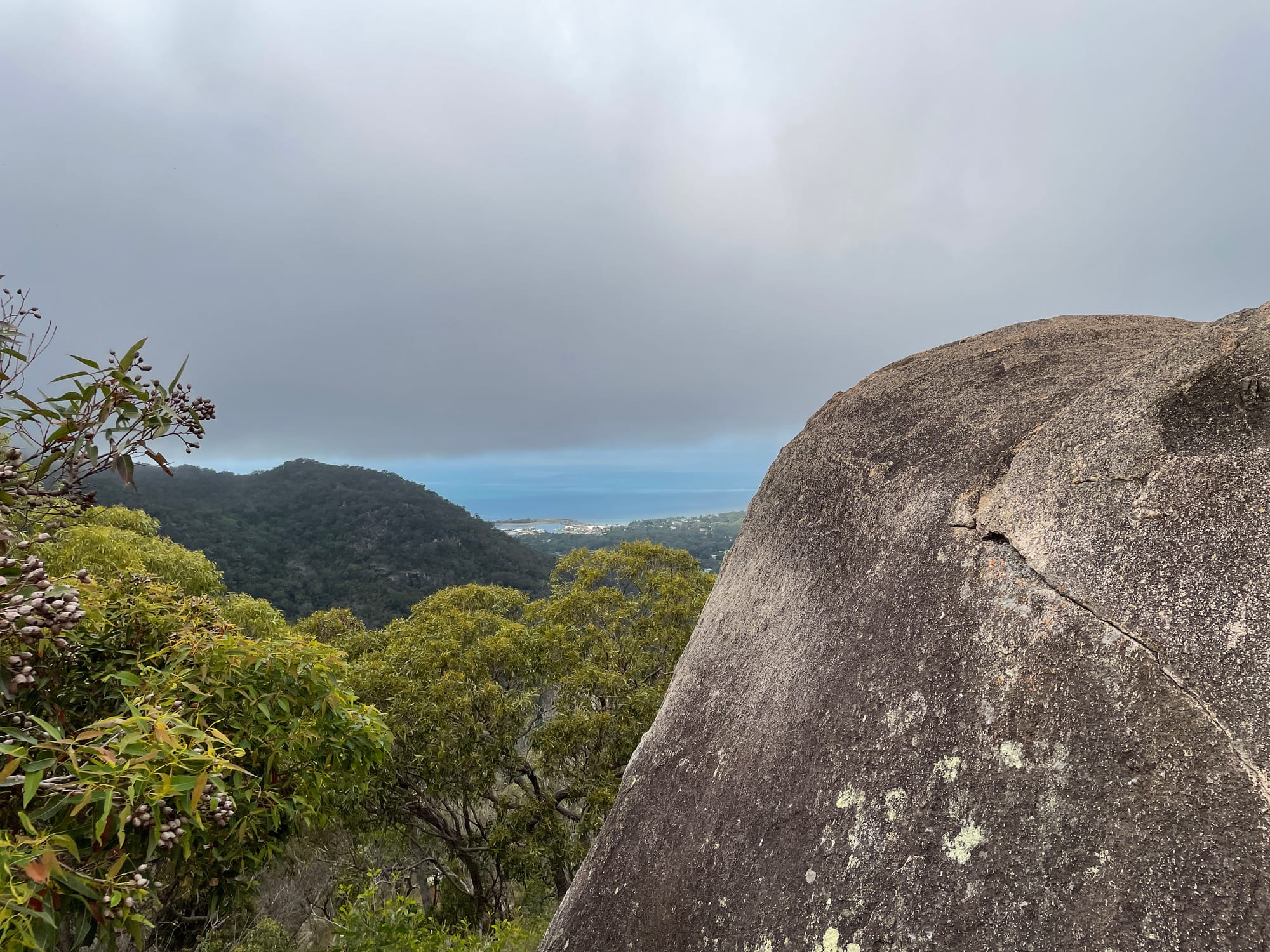
The walk up the slopes from the back of Nelly Bay was often steep and difficult, and the track was rough and overgrown in many places but, as promised, the way forward was relatively easy to find, with plenty of pink tape. There were several high points with magnificent views to the east and north of the island.
There is a noticeable change in vegetation as we pass through the ferny gully, and a noticeable change in mood as we find our first stinging Gympie Gympie. It was a small plant, but still capable of making us notice it if we got up too close and personal.
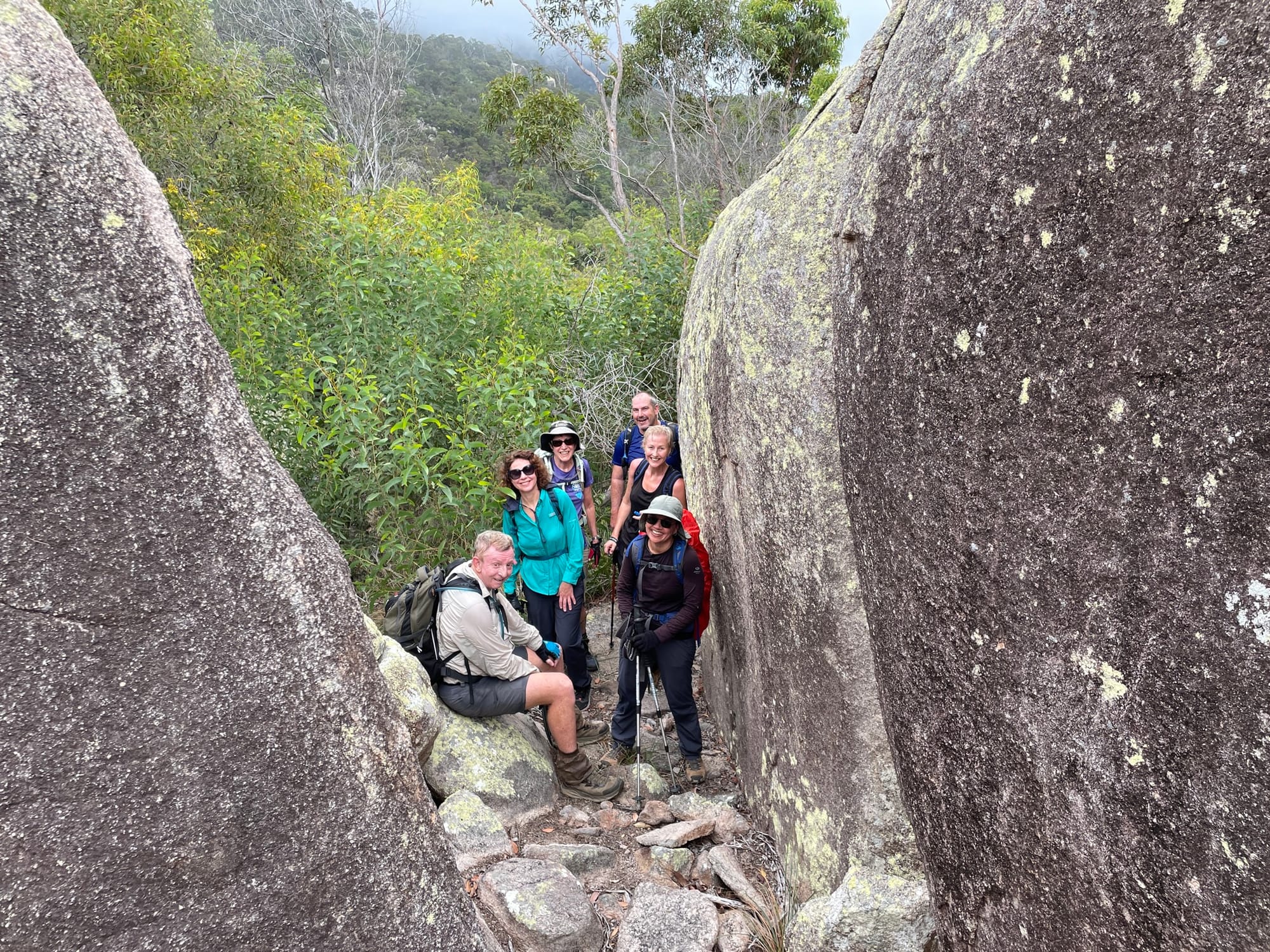
After lunch at the top, we explored the immediate area, checking out the helipad first, then finding the memorial plaque on an adjacent peak.
What next? We all felt good about our efforts, and felt we had the energy to repeat the Endeavour Creek walk, for old times’ sake (Keith had done it the previous time).
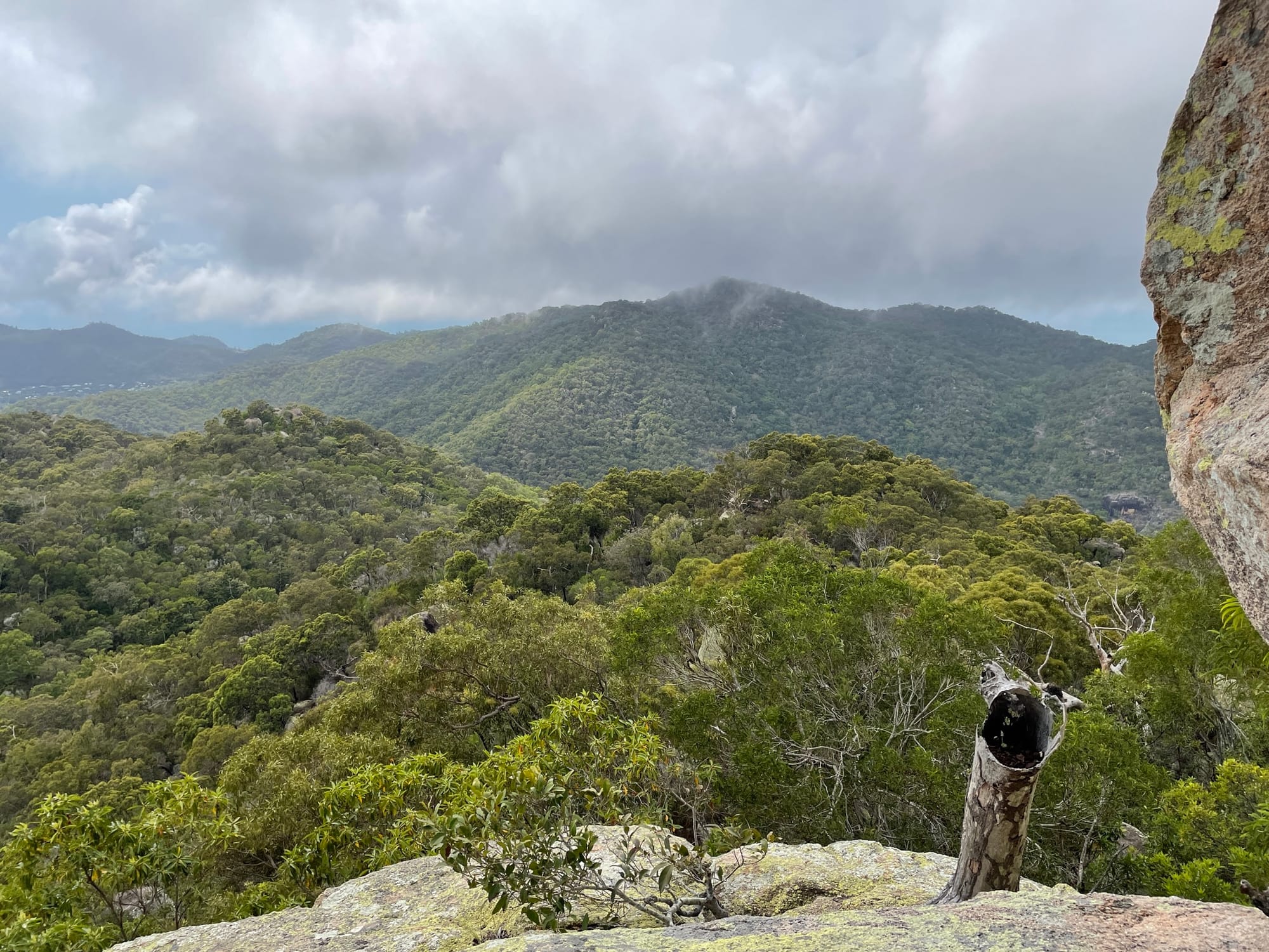
Then the really difficult bush bashing began. It was slow going through long grass, thick overgrowth, vines, steep drops, fallen branches, in fact everything the bush could throw at us. Every few metres seemed to take an eternity, and everyone had some scratches and bruises, if not more. Why is this taking so long compared with last time? Bushfire, or at least the lack of! The previous walks in this area had been soon after fire had ravaged the bush, but today the Mount Cook area hasn’t seen a bush fire for many years, so the vegetation has grown back with enthusiasm.
We still hadn’t found the headwaters of Endeavour Creek, which flows north to Horseshoe Bay, but we knew we were closer to the headwaters of Duck Creek. Only problem: Duck Creek flows to the south, and the Horseshoe Bay pub is north. But Duck Creek crosses the West Point Road, and as soon as I mentioned the magical words “shorter distance”, “taxi” and “Picnic Bay Pub”, everyone agreed to give Duck Creek a try.
Duck Creek is very rocky, and was tricky to safety negotiate when everyone was tired. Hours later, we walked onto the West Point Road, tried (and failed) to get a lift from passing motorists, ordered a taxi when we were close to the bitumen road, then could do nothing more than keep walking while waiting for the taxi to arrive. And then keep walking and waiting, and walking and waiting, until we finally realised the taxi wasn’t going to show up. We shuffled our weary bodies into the Picnic Bay pub at 7pm, getting strange looks from our fellow patrons. The first icy cold drinks lasted just a few seconds.
My “shorter distance” became more than 2km longer, my 10 hours estimated maximum time became 12 hours, my “6:35 ferry at the latest” became the 8pm ferry, and we ended up at the wrong pub, at the opposite end of the island! Doesn’t matter, all we wanted was a cold drink or two. Well, these things are what make adventures, right?
Lesson 1: Don’t rely on the taxis of Magnetic Island.
Lesson 2: Rock hopping down the creek might be easier than bush bashing through unburnt scrub, but it’s still difficult.
Lesson 3: When you’re hot, tired, and thirsty, any pub is perfect, even the “wrong” pub.
- Ian


