Escape Magazine - July 1981
Escape Magazine Jul 1981 — Townsville Bushwalkers: walks, history & trip tales. Highlights: Mt Spec, Magnetic Island, Mt Wilhelm, Herbert River, Goldfields. Meetings, gear checklists, safety tips & creek stories. Join local bushwalks in North Queensland — explore, learn, connect. Join us — explore!
ESCAPE Jul.81
Townsville Bushwalkers
WHO'S WHO?
PRESIDENT : Allan Watson
VICE PRESIDENT : Karmen Nisbet
SECRETARY : Graeme Standfield
TREASURER : Pauline Roberts
EQUIPMENT & SAFETY TRAINING OFFICER : Tony Skinner
EDITORS : Glynis Lee & Kathy Bolton
CONTACTS.
Karmen Nisbet, Adrian Jeffries,
10 Nobel St, Townsville Environment Centre,
Wulguru, 4811. 819 Flinders St,
Ph: 781935 Townsville, 4810.
(until Feb. '82) Ph: 716226
Mail: P.O. Box 494, Townsville, 4810.
MEETINGS: held at the Townsville Environment Centre, (next to the Pizza Sorrento, Ingham Rd end of Flinders St) at 8pm: Aug 5/19, Sept 2/16/30, Oct 14/28, Nov 11/25, Dec 9
CONTENTS:
Pg.
3. Walks Programme 1981.
4. "The Bushwalking Norm" - Bob Ferguson & Ron Ninnis
5. "Walking Around Magnetic Island" - Lou Darveniza
6. Magazine Review.
7. Poem - "The Walking Track" - Glynis Lee
8. "Mt. Wilhelm" - Ron Ninnis
11. "Mt. Spec in the 1930's" - Captain Burla
14. Philosophical Thoughts.
17. "Water is no Problem" - Harry Kershaw
20. "Barefoot in the (National) Park.
22. "The Golden Star" (North Queensland's First Goldfield) - Captain Burla
24. Ron's Checklist.
25. "Gympie" - Pauline Roberts
EDITORIAL
We enjoyed making this magazine. We hope you enjoy reading it.
We thank the authors of articles (naturally). Also, Karmen N. for comics, and the typewriter, and Derek Lee and Jan bourne, the artists.
Ron N. & Glynis L.
NEWS ON PEOPLE IN THE CLUB
- Jim Cameron is on long service leave in the U.S.A.
- Lynn & Les H. are away for 7 months grand-touring Ireland, Scotland and Europe. Good luck to them.
- Bill Dunstan hopes to join the Special Air Service, and is at present in Singleton.
- Glynis Lee is on holiday among the hill people of Thailand.
- Jan Bourne is working near the Big Pebble (Ayer's Rock). She has recovered enough for climbing on camels and up mountains.
- Allan Watson, we discover, is really a businessman in disguise.
- Ron Ninnis is coming and going again. Back to cold Tassie this time. See you later, Ron.
- Roy Williams ran on the Bridge to Bay Fun Run.
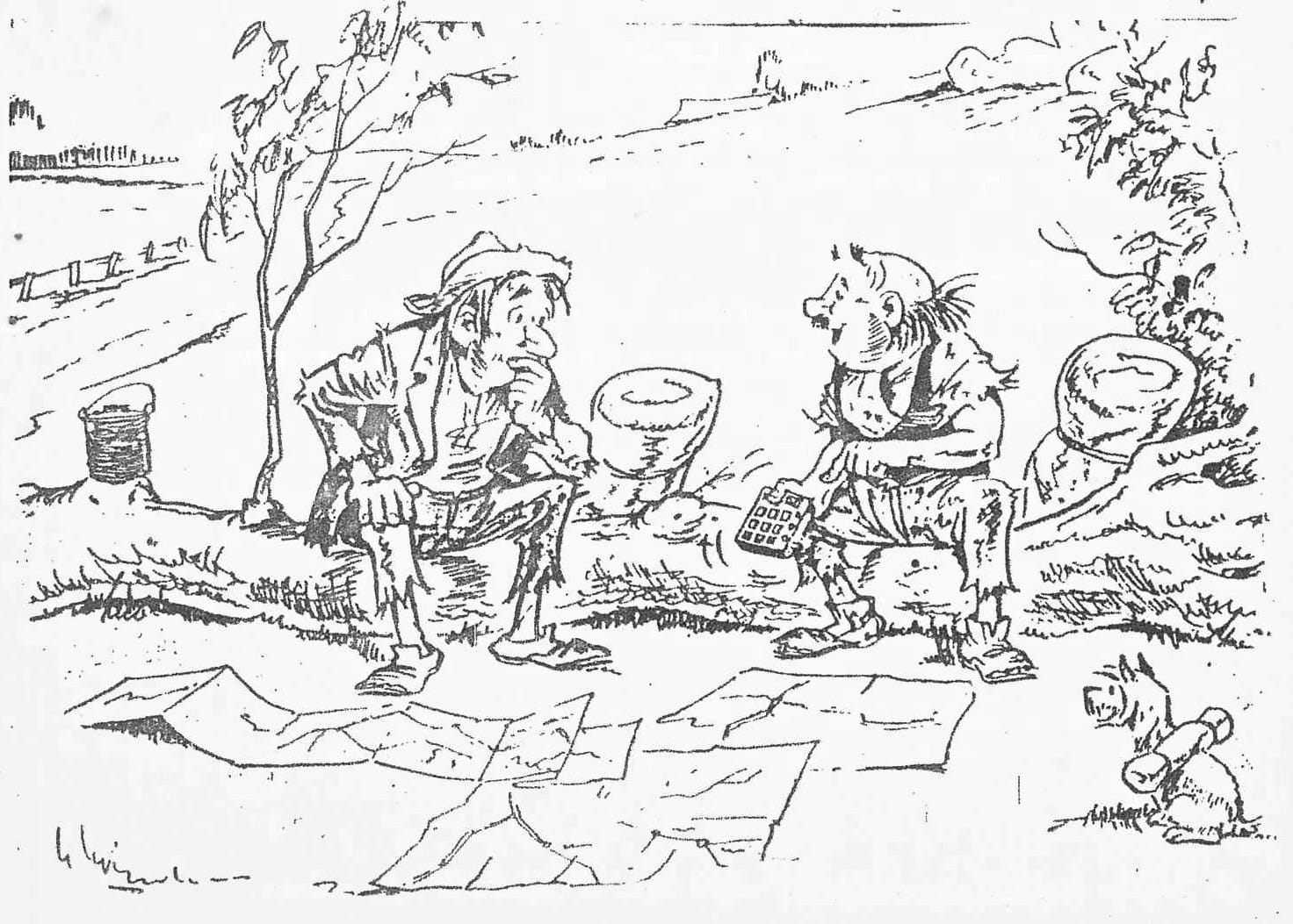
- "THAT'S progress! In ten seconds it's worked out that we're exactly one million, four thousand and one metres from Cairns!"
WALKS PROGRAMME '81
AUG 9 Walker's Creek is at the "back" of Mt. Elliot. It has a good mixture of pools, rocks and views. It is quite open with some surprises.
AUG 22/23 Garrawalt Falls/Herbert Canoe Trip.
The idea here is to canoe down the river the first day, from the end of the Abergowrie Rd. We then will find a good beach to camp at. Next day, we canoe down further to the falls. The falls are one of the best in North Qld. Canoes are not supplied. Non-canoeists will be able to walk in from a property close to the junction.
SEPT 6 Anthill Plains Creek.
A new walk to explore a new area. The map indicates that the creek should be well worth exploration. This creek flows from the Sisters (Mt. Elliot N.P.).
*SEPT 19/20 Tully R. Gorge. Leader: Lou Darveniza.
This is a spectacular gorge with sheer sides in some places. There are gigantic boulders, some grey swiftlet colonies, and some scrub-bashing up a very steep ridge out of the gorge. Some experience and ability is necessary.
OCT 4 Killymoon Creek.
An open creek, good swimming holes, and close to Townsville.
OCT 17/18 Hen Camp Creek & Circle View Mt.
We walk up Hen Camp Creek, climb to the top of Circle View Mt, then drop into Ollera Creek and to a nearby access road. Two creeks for the price of one, plus a panoramic view of the whole area.
NOV 1 Raspberry Creek Falls.
These falls are at Upper Stone adjacent to the Mt. Fox Range. This is a new area to reconnoitre. Looks good on the map. Ought to be good falls, and a rocky creek.
*NOV 14/15 Mount Spec.
Awalk in history along some old pack-horse trails. It combines the best views of the Mt. Spec area, rainforest and a swimming hole. A cool area in summer.
NOV 29 Bullocky Tom's Creek - a major tributary of Crystal Creek; "discovered" last year. Plenty of cool water, many swimming holes, and close to Townsville.
DEC 12/13 Running River Picnic - This is a favourite spot: a sandy beach for camping, and a deep swimming hole.
- Dates may be changed. In fact, the whole programme is provisional, and details of each walk should be obtained at the club meetings.
THE BUSHWALKING NORM
written by Bob Ferguson.
edited by Ron Ninnis.
To Norm, walking means getting up from his front row view of the T.V. set, going to the fridge to get another cold tinnie, and returning to spectate on the cricket. Bushwalking is a waste of time.
However, we know that he is wrong, don't we?
We, the priviledged few, get opportunities even Harry Butler does not get. Have you seen Harry encounter gympie, lantana, or raspberry bush? These are the hidden treasures of North Qld.
When you bushwalk you usually camp. Camps are fun, aren't they? We imagine finding an unblemished area away from Man's neuroses, and noise and contrivances. You get there and light a fire; a fire which brings to your attention that you have unexpected guests.
At this point, you go to your tent to get the DETERENT. (DIDYA H AVAGOODWEEKEND ? No! You forgot the AEROGUARD!) Now you don't let one little disappointment deter you. Now at least you'll get a good night's sleep, or try to. Guess who didn't check under their tent for projections? Well, this leads to a quick shuffle of position, several times during the dark hours, and somehow you manage to get a barely adequate amount of sleep.
Enough h owever, to inspire you on the next day, to where you are sure the grass is greener.
Bushwalking is like life: it has its ups and downs.
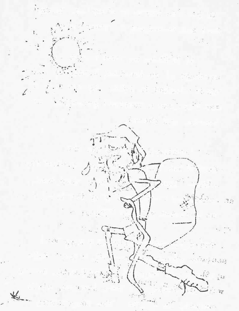
THE PEOPLE ONE MEETS
Oh yes, around Magnetic Island is an easy two day trip, or so my memory tells me. No, there is no need to take the early boat (Marion had not been there).
We felt sure that the Taxi driver who took Marion, Alister 7, Ben 5, and I from Picnic Bay to Horseshoe Bay considered that with our rucksacks and sensible attire we belonged to the great unwashed. A distinctly unfriendly individual, perhaps whose real concern was that we did not contribute sufficiently to the tourist dollar.
At the remote end of Horseshoe Bay we entered the land of the sun worshippers - bared bodies everywhere. We were passed by two sunlovers on our two hour journey across the headland to Maud Bay. Later at Maud Bay we stopped to talk to them. Aren't you worried about skin cancer, don't you know that Townsville has one of the highest incidents of skin cancer in the world? No, we are from Sydney. We want as much sun as possible in as short a time as possible. We decided that the disciples at the far end of Maud Bay must also be Southerners.
You must be energetic, shouted the boating people in bay 4, Wilson Bay, as we hurried by. As the sun set and we spent the last hour in the darkness crawling over, around and under boulders to reach Huntingfield Bay, we decided that we must also be stupid.
Next morning, we all caught fish for breakfast. The children forgave us. We picked the wrong creek out of Huntingfield Bay and spent an unpleasant two hours climbing 200 metres to a saddle up a bouldery, difficult creek. Lunch, we had on a saddle looking down on West Point.
At West Point, we came into the back yard of some real Islanders. Jacko, wife and two children - painter, oyster farmers, marvellous people. Would you like to see this book of poems "The King of Ballyho" by E. Harper, illustrated by myself and about to be released. Yes, that is the same tin mining Eddie Harper, whom we first met with the children at Pazzle Creek and well known to the bushwalkers, etc., etc.
The eight kilometre road walk from West Point to Picnic Bay is a bit of a killer. The bribe ration of Smarties per each half hour proved its real worth.
Yes, we told the group of friendly New Zealanders whose company we enjoyed on the boat trip back to Townsville, around the Island coastline is a fabulous trip, but with young children, it is a difficult trip and not to be taken lightly. As well, you meet all sorts of interesting people.
L. DARVENIZA
MAGAZINE REVIEW
by Ron Ninnis
"WILD" is a new magazine on "bushwalking, skitouring, canoeing and climbing" (the rucksack sports). The first edition is just out and it is to be published quarterly ( January, April, July, October). It is a high quality magazine, edited by Cris Baxter, a top Australian climber. The authors of the articles are tops of their fields.
This edition has a review of skitouring tents, a talk with Geoff Mosely, and skitouring in the Snowy Mountains. There is an excellent article on bushwalking in the untrodden parts of Cradle Mountain.
At $1.95, it is much better value than Outdoors magazine, and closer to the interests of most people who will read this article: even the advertisements are more relevant.
For subscriptions write to:
Wild Publications, P.O. Box 415, Prahran, Vic.
(Distributors: Gorden & Gotch)
DID YOU KNOW that the Townsville N.F.C. Bushwalking Club is 21 years old? The first meeting was in April, 1960.
"Now this is certainly not him"
THE WALKING TRACK
by G. Lee
Down the shadowed track I wander
With shimmering specks of moment's interest.
At times the pace is quickened
Taking all in at a glance,
While at others, an intense study
Shows all the details of one's life.
Sometimes the track takes me downhill
Where life flows easily
But awareness is essential -
Steep gradations drain my energy
and I feel a yearning for an end.
But, as always, it seems, that
At almost breaking point,
I'm at the crest of the slope
And ahead lies the downhill.
Always press on
As at the top of each climb
There's always a way down.
The path narrows -
Tightening space and enclosing
The world around me.
A need arises
To detour off the well-worn track
Where few have ever trodden.
Here solitude is found
And independence strengthened;
And contentment is sought in nature's surroundings.
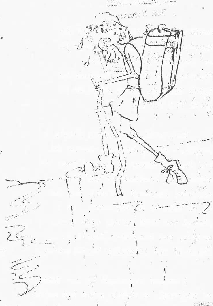
MT. WILHELM Sept. 1980.
by Ron Ninnis
Would you believe in snow on the Equator? I was told the snow is not uncommon on top of Mt. Wilhelm, the highest mountain in Papua Nuigini, at an altitude of 4509m (14,795 ft).
This peak is in Simbu Province. roughly halfway between Goroka and Mt. Hagan. There is a road from the highway at Kundiawa to the last village, Kegesugl (43 km), and has to be seen to be believed. In places the road is cut into vertical cliffs, and the views from the edge of the road are literally breathtaking.
I stayed overnight at the "Lodge" at Kegesugl, a sturdy grass hut owned by the Wilhelm Tourist Council (3 k*/night). It is advised to spend the night here to acclimitize to the altitude (2600 m).
Early next morning I set off to "Base Camp" ( at 3350 m). This took approx. 3 hours with some difficulty in breathing already apparent. The path was through subalpine forest with a moss carpet underneath. I stopped many times to watch and photograph many birds, including the colourful Stephanie Bird of Paradise.
Base Camp consisted of a strong, well-constructed A-frame hut, containing mattresses and a kerosene stove which fumigates the hut. (cost:2.50 k/night). It is situated beside the first of two basin lakes named Pindauwe; and at the edge of the tree line. From here upward, the vegetation consists of alpine tussocks, then changing to scattered dwarf shrubs, then moss only.
At the hut, I met up with a party from LAE University. They were planning to get up at 1 am the next morning to reach the summit before clouds start to cover the tops.
So, at two o'clock, still half asleep, the group set off with torches. The track is pretty well-beaten, and a guide is not really to provide him with clothing, shoes,
food and something to sleep under.
At 3650 m, we came across the wreckage of an American Liberator bomber, which crashed in 1944. To the side of the path was a complete propellor, all twisted and chewed.
Looking down were the two forbidding dark lakes, one feeding the other. Looking back was a deep road, punctuated occasionally by the twinkle of an isolated village light.
The track then followed a spur with sheer precipices on both sides. This section is exposed to cold wind, moving up the valley. I was, however, still walking in shorts. The temperature was just above freezing point. I was glad of the woolen socks on my feet and hands, and my home-made balaclava - a spare underpants!
After 2 hours, the new batteries in my torch faded. I had expected this, and carried a spare one in my pocket, keeping it warm. (It would be safer to carry two extra batteries).
At around 4000 m, someone had painted every tenth rock orange, red, or white.
At this stage many people cannot continue - altitude sickness is very common. Everyone in our party was feeling the symptoms: headaches which intensified, shortness of breath, nausea and lassitude. Two people suffered loss of balance.
Here there was frost on the rocks, and I was faintly dissapointed at the lack of snow.
I had judged accurately the amount of gear to take - 2 jumpers, shorts and a pair of overtrousers in my pack in case the weather deteriorated.
It was now just on sunrise with dramatic views in all directions of u-shaped valleys, and morainal ridges. All seemed to be enveloped in a thick cloak of silence.
Fitness and sheer determination saw me to the top. It was necessary to rest every 20 paces. Once at the peak, I felt no exhileration, only relief.
We could see halfway to both north and south coasts. On a clear day we were told you can see both coasts and some islands.
In 2 1/2 hours, I was back at base camp, sitting up in my sleeping bag sipping chicken noodle soup. After swallowing two codeine tablets, I dropped into oblivion, and dreamt of snow covered peaks.
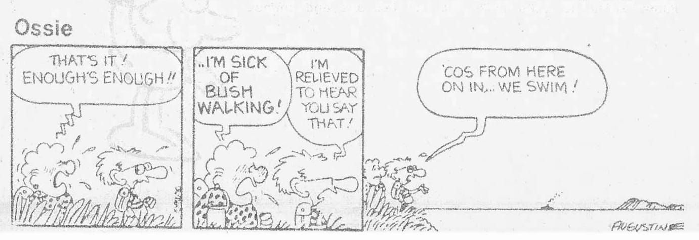
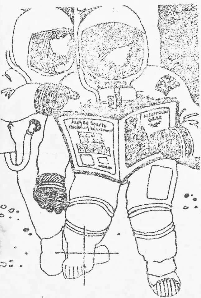
![Panel 1: FRED BASSETT By Alex GRAHAM [Thought bubble] Why do I do it, I ask myself... Panel 2: [Thought bubble] Why do I drive myself to the limit of my physical resources to do this climb? Panel 3: [Thought bubble] Because I can't resist a challenge](https://storage.ghost.io/c/7d/ba/7dbaebaf-194e-4ef9-a4d9-2c073a689e9c/content/images/2025/09/8107-Escape-Magazine-Jul-81-comic.jpg)
Ian (Big Ian) Nisbit's comment after diving into Ollera Creek in mid-
winter : "It's not that the water's cold, it's just th ice you break
when you dive in".
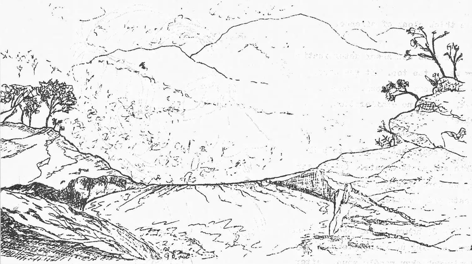
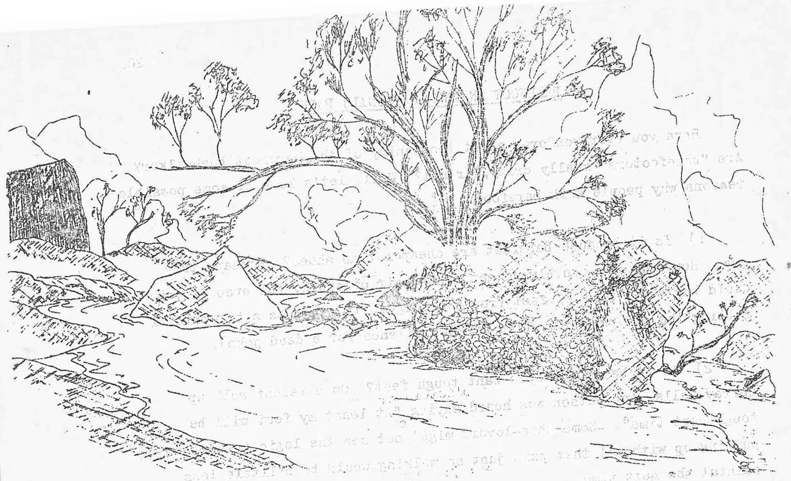
MOUNT SPEC IN THE 1930'S
by Captain Burla
In the early thirties Mount Spec had another booming industry– the tourist. Its scrublands and waterfalls were becoming well known attractions. This was before the Mount Spec Road was built and tourists desiring to see the scenic beauties of the Spec would come by rail to Bambaroo, where they would be met by Mr. Fred West and taken on a unique adventure– a journey along the trails on horseback. Shay's Guest House at this time was much in prominence and the hospitality of the hosts was as well known as the beauty of its surroundings. Let's saddle a horse and follow once again a party of tourists along the "orchid" trails.
We left Townsville by the Cairns mail train and were met by Mr. Fred West's agent in Bambaroo. At the foot of the mountain we had a good dinner and we were afterwards taken in hand by Mr. Joe Holland, the assistant guide. Our belongings were strapped on a packhorse and we started the big climb at about 3 p.m. We met Mr. West on the way, with saddle horses; but these were for another party visiting the boarding establishment at Waterfall Creek. Our way then led downhill for a stretch, but soon the uphill track became steeper than ever. On reaching the top of the gorge we were conducted to Card's lookout, where we had our first experience of the beauties of Mt. Spec. Turning towards the sea, we had a magnificent view of the coastline, from Hinchinbrook Island to Cape Cleveland.
At 7 p.m. we camped for the night at a deserted miner's camp, and after a refreshing bath in ice cold water, we had a great appetite for tea. After that, not much time was wasted in preparing for sleep, as the long stiff climb had left us properly tired, but happy. The next morning we were up bright and early, anxious to see the sights.
Looking up the creek, we obtained a glorious view of the luxuriant bush vegetation. A large clearing had been made about the old camp, and a number of self-sown citrus trees were loaded with fruit.
After breakfast, a start was made for Saltwater Gorge and Falls. We had not gone far when we came upon another clearing richly covered with grass. It was the picturesque site of Mr. Jamson's residence, with whom we stopped for a chat. We were led by Mr. Holland along a scrub track which only the experienced eye could follow. On every side ferns, orchids and palms gladdened the sight. We saw many fine crystal waterholes and we could not resist the temptation of having a swim. In the two hours of walking we were at the head of the Gorge and then we enjoyed splendid views of the surrounding country. On looking down the Gorge, it appeared quite impossible to get to the bottom. But the guide led us down a safe track, and in about half an hour, we were at the foot of two big falls. We then climbed a cliff and did a little clearing to take some snags.
After dinner, we retraced our steps back to the camp. The guide soon prepared a good substantial bush meal; and didn't we enjoy it.
The next day we were again up early, and took the track to Gold Creek Falls. We reached the bottom in a little over an hour, and after waiting for the sun to get into a suitable position for a camera, we obtained some fine views. Our next place of interest was Foxloe's Lookout, which was only a mile from our camp. Here could be seen another splendid view of the coastline, really one of the best. On our way back, taking another track, we called at Gard Brothers' Tin Mine. We looked over the workings and saw many objects of interest, including a waterwheel stamper. We paid a visit to Shay's Boarding House, where we were surprised with the conveniences that are provided for tourists. A party who had stayed there was leaving for the Cairns mail train and regretted that they were not able to enjoy a longer holiday.
Later on we were taken in hand by Mr. Fred West, who told us that we had not seen half the sights. We next paid a visit to Waterfall Creek. Our guide picked an easy path through the rugged country, and made difficult tasks easy. We saw Diorite Falls, which flow over a rock formation into a big pool 15 to 20 feet deep. About three hundred yards distant were the Trout Falls. In the clear pool beneath we could see a great number of fine mountain trout, which looked tempting. A feature of the Trout Falls was the peculiar formation of the cliffs, which causes the water to spring up and describe a circle before finishing its headlong course. Continuing our journey, we arrived at the junction of Pinch Gap and Waterfall Creeks where we made a camp for the night. Thence we proceeded to Tassel Fern and West Falls where the scenery was magnificent. Not far away there is an attractive swimming hole, having a length of one hundred yards, thirty yards wide and a depth of over twenty feet. On each side there is a wall of rock fully one hundred feet high. The water was beautifully clear and we could not keep out of it. After our swim, we were delighted with the appearance of a dainty hot meal which only an expert bushman like Mr. West could have provided. Nothing like his "French Gallop" could be found at any city hotel.
Our next move in the direction of Kia Ora Falls, which have a drop of 300 feet, with the forming pool at the bottom. Thence there was a stiff climb to Maidenhair Falls which afford a very pleasant view. Continuing up the creek we came to Orchid Falls, which are well named. The bush vegetation is most attractive and the orchids are numerous and of various kinds. Further on a number of small falls were met with and the climbing became rather severe. In some places, we were crawling along sideways, where a slip should have meant certain death. But we were well rewarded for all the trouble by the sight of View Falls. The scenery in this locality cannot be surpassed anywhere in the Australia. In all the waterholes we saw numbers of freshwater crayfish and occasionally a few small turtles. Having proceeded as far as our time would permit, we made back for the camping ground, which we reached early in the afternoon. After enjoying our late dinner, we started for Mr. West's residence at the foot of the mountain. We had spent nearly a week on Mount Spec and enjoyed every minute of the time. We were truly astonished that such conditions and such scenery could be found within easy reach of Townsville. On Waterfall Creek there are upwards of seventy-five waterfalls, so that the name cannot be wondered at. At Insulator Gorge there are many interesting views. The sides of the hills are covered with timber and amongst the trees there is a profusion of ferns, palms, creepers and other vegetable growths. This gorge is only one hour's walk from Mr. West's home and is well worth a visit.
We felt sorry that the time passed so quickly but as the saying goes, "All good things come to an end". If anyone is fond of mountain climbing amongst beautiful natural scenery, I would say, "Go to Mount Spec". It is a wonderful change for the town dweller.
PHILOSOPHICAL THOUGHTS
BEING
Climb to the threshold of
your own beliefs,
not with the statement
of others,
but with the footsteps of
your own experience.
FIRST STEP
As you sit in silence
on a lonely beach
or a drifting sand dune,
you discover the possibilities
for a new world
and a new self.
You may not be transformed
by the experience.
But if it stirs within you
the desire to be -
then you've taken the first step.
If a man does not keep pace with his companions
perhaps it is because he hears a different drummer.
Let him step to the music which he hears. - Thoreau.
WATER IS NO PROBLEM
by Harry Kershaw.
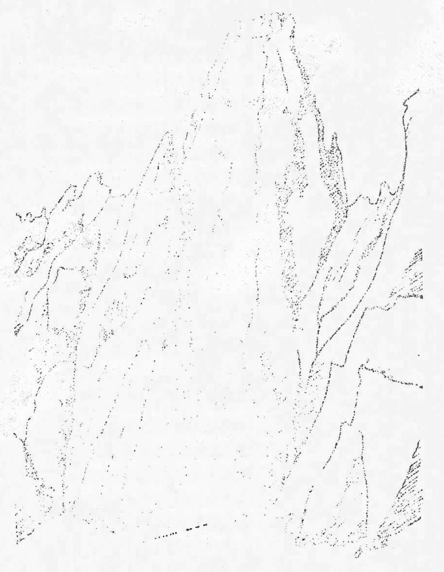
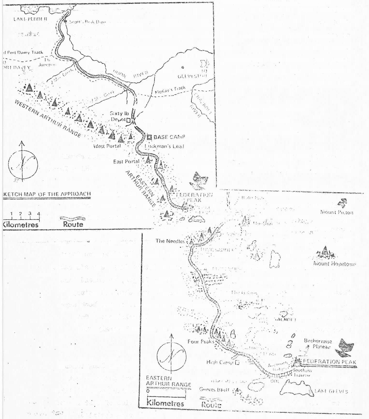
Before we commenced our trip, we facetiously remarked, "water is no problem in Tasmania". We found, to our chagrin, that it was very much otherwise. We had climbed 12 major peaks and decided to try the "daddy of them all", Federation
Peak. Our first attempt was a somewhat half-hearted one from Farmhouse Creek. Three days of hard walking, mainly through the forest, and then a thunderstorm and rain held us up.
Our second attempt was well planned and much more virile. For three days we crossed the plains, then struggled through steep forest and rock, in places pack-hauling our laden rucksacks, but leaving 4 caches of food for our return. On our 6th day we were within striking distance of the summit, and intended to reach there, but it was not to be. High winds and rain sent us scuttling for our "sheltered campsite, cut from 5m high scoparia", and at an altitude of 3000 ft.
Next morning, sunshine after a red dawn, and from the misty valleys diaphanous veils paraded the great rocky precipices around us - a photographer's delight! A high wind, but at last we were on our way for the Peak. But we had barely set foot across the airy Southern Traverse when a change came in the weather. The filmy scarves became log-ridden mists, dark clouds came apace, and we reluctantly turned back. We saw our first furred animal, a wallaby, leaping downhill, probably for cover: he knew the weather portent better than us. Then commenced our long vigil, which, of necessity, related to the food situation. Jill had packed for 14 days - 5 days in, a day on the mountain, and 5 days out, giving us 2 days for hold-up. We did not know then that we were on an 18 day hunger epic - but that is another tale.
The wind blew, and the rain continued, hour after hour, day after day; mist all around, hemming us in completely. For 3 days we bravely cosetted a wan fire. The paths became quagmires, and, in the continuous downpour, we found deficiencies in our equipment. Our rain jackets leaked and our boots became soggy, so we retreated to the tent and the warm comfort of sleeping bags. We had a stove but wished to conserve fuel for our return journey. Our ascent of the mountain now seemed hopeless. It was maddening to think that had we started one day earlier, we could have made the top! But now a much more serious problem loomed; for, after all, one can be turned back from a mountain with no damaging consequences, but, not to get back....WHAT THEN? How long would this weather last? For we had an arduous task to reach Soon Nocr, our next food cache. We regaled our time waiting under the Chinese water torture of dripping from the trees, by anecdotes of the explorers, especially from a food point of view, - how they ate their huskies and starved their way across the wilderness. Then it was, that huge chunk of grey quartzite, less than two hours away, shiny with water down its flanks, its head buried in a woolly cap of swirling mist.
"That, after all, are formations like these Stratified rocks, if you come to consider Placed at an angle of n-ty degrees"
We had waited 5 days, making our obeysances - surely such devotion should be rewarded - just a few hours of decently fine weather. Frustration Peak!
Great joy! Our 6th day dawns clear and sunny; my sprained ankle is almost its normal size again, and our peak stands stark and vivid against a blue sky. It is now or never - we have not enough food to stay another day. We gain the Southern Traverse, tie on the rope, and warily edge our way across. The exposure is terrific as we look down the almost vertical face to Lake Ceovac, nearly 2000 ft. below. Exhilaration Peak! But the hand and foot-holds, though cold, and a little damp, are adequate. The signpost reads "Summit"; so ropelength by rope length, we ascend: and there is the cairn, the top, at last! We forget our aches and pains, our frustration, icy fingers and frozen toes, for here, as the book says is "the climax of the whole trip", and it is time to celebrate. Not champagne, but a stick of Blackpool Rock, to be gnawed lovingly and laughingly on this glorious back of Federation.
For some obscure reason, I know not - perhaps it is the long tenuous approach, perhaps its place in the midst of such profound peaks, - but Federation, more than any other, is a "toy" peak - something magical like Fairyland. Hilaire Belloc is moved so on his distant view of Mont Blanc, "the terror of height and of distance, and the infinite potential of "reception, whence springs the divine thirst of the soul".
We had meant, of course, the LACK of water was "no problem"; but here again we were wrong, for, in this Year of the Drought, we came to Goon Moor Camp to find the holes, which on our return were brimming with crystal aqua, a series of mud pots or smelly stagnation. The blue lakes below mocked us; impossible to get down the steep, covered in thick scrub. Two Goons scouting the Moor for that very necessary aqua potabile, and it was only after a prolonged search that we found a hole where from we were able to skim a few cupfuls of precious liquid. When the rain did come, there was far too much - 5 days of it! But, such is the Bushwalkers' lot in this beautiful Australia, and, in retrospect, those memories of waiting fade into insignificance behind the climbing of such a splendid
BAREFOOT IN THE (NATIONAL) PARK.
Have you ever wondered about the sanity of the barefoot bushwalker?
Are "barefooters" really crazy, or not? Well, let's look at some possible
reasons why people walk barefoot.
- Is it because barefoot are cheaper than shoes? Perhaps they
are. However, you can always get a new pair of shoes, but even if you
could buy a new pair of feet from the morgue, it might be a bit painful
getting the old ones off. (Ten minutes silence for a dead joke). - Is it because people want tough feet? On a recent walk up
Murray Falls, Bob Watson was heard saying "At least my feet will be
tough next time". Some shoe-lovers might not see the logic in someone
putting up with all that pain just so walking would be a little less
painful the next time. - Perhaps nagging blisters or wet, slippery rocks cause an increase
in the number of barefoot walkers? - Maybe some people just want to portray a macho image by showing
how tough they are. Because, let's face facts, walking barefoot does
hurt after a while, especially when you're not a total barefoot fanatic.
Well, all I can say is I'm glad I'm not male. I don't have to pretend
it doesn't hurt at times. - Or, horror of horrors to all shoe-lovers, maybe some people
really enjoy barefooting it.
Perhaps you shoe-lovers should try it, too, whatever your reason.
Who knows, you may enjoy it. Go on, stand on your own 60 cm. (2 ft to
those unmetricated people).
B.B. (The Barefoot Bushwalker)
THE GOLDEN STAR
NORTH QUEENSLAND'S FIRST GOLDFIELD
by Captain Burla
"GOLD - GOLD IN THE NORTH".
It is almost one hundred years since that magic cry was heard in the North. It was first given by William Gibson in November, 1865. Gibson was an Overseer working on Dotswood Station. He found a nugget on the Star River while mustering cattle. He reported the find to the Lands Commissioner of North Kennedy, Maurice O'Connell, then stationed at Dalrymple.
"Gold in the North". The cry was echoed in the newly opened of Townsville. The call caused a stir of excitement. It is recorded that on January 25th, 1866, a public meeting was held, and a sum of £500 was voted as a reward to William Gibson for having discovered gold in the North. Excited mailmen carried the news down the Burdekin Valley over long miles of rutted, dray tracks. Soon the call echoed around Port Denison. It stirred the imagination of the diggers on the Peak Downs and Rockhampton fields and, fanned by dreams of hidden wealth and riches, a rush soon started to the North.
Edward Cunningham and other pastoralists offered £1,000 for the discovery of a payable goldfield in the North. Such was the enterprise and public spirit of our pioneers whose greatest desire was to promote progress and encourage the development of the country.
On February 25th 1866, the steamer "Williams" arrived at Townsville with a number of diggers from Rockhampton and Bowen. The track to the Star River diggings was over Harvey's Range by a newly formed road. In the distance of about sixty miles there were no great difficulties to encounter. No doubt with recollections of the great southern goldfields in mind, there was an air of excitement about Star River.
Richard Daintree reported on the field in March 1866. Gibson and Thorton won 96 oz. of gold and, although some promising shows were opened, the field generally was a poor one. The Star River diggings extended from Keelbottom Creek to Running River with the main camp of the diggers on Speed's Creek, ten miles from Dotswood Station. Evidently the season was a dry one for the recovery of alluvial gold was hindered by the shortage of water.
This was the first goldrush in North Queensland. It was not a success, but some good alluvial gold was obtained and a number of reefs were too poor for profitable working. In those days, with primitive appliances, only very rich reefs would yield profits. In one way, however, the Star River diggings were successful. It proved that auriferous country existed in North Queensland and the prospectors who came went on to better fortune. Quickly the gold seekers spread over the ranges and soon the rich fields of Cape River, Ravenswood and Charters Towers yielded up their golden treasure.
The discovery of gold on the Star heralded the beginning of a fabulous era. Within ten years, the goldfields of the North attracted world wide attention.
RON'S CHECKLIST
This list is handy to check your pack just before you go bushwalking. Even experienced people leave things behind, especially if you pack 5 minutes before you go, as some of us do.
*FOOD
*MATCHES (PAPER)
*BILLY
*CUP/PLATE
TIN OPENER
*KNIFE & SPOON
*TORCH/GLOBE/BATTERY
*WATER BOTTLE
SANDSHOES (SOCKS)
SHIRT, SHORTS
*TOGS
*PULLOVER
*PARKA / PONCHO
HAT
SPARE CLOTHING
MAP
TRACK NOTES
COMPASS
PENCIL
RUCKSACK/DAY PACK
TENT/FLY
GROUND SHEET/PONCHO
KARRIMAT
SLEEPING BAG/LINER/BLANKET/BLANKET BAG
MENDING KIT - needle, thread, scissors.
FIRST-AID KIT
- Elastoplast
- Safety pins
- Bandage
- Burn Cream
- Stingose
*MONEY
CAMERA /*FILM
TOILET PAPER
SOAP /*HAIR SHAMPOO
CORD
PLASTIC BAGS
*INSECT REPELLANT
*SUN FILTER LOTION
**YETI TRAP
- Things I have forgotten.(over 10 years I hope you reali... (text is cut off)
Underlined things are ABSOLUTELY essential.
make sure you're well equipped!
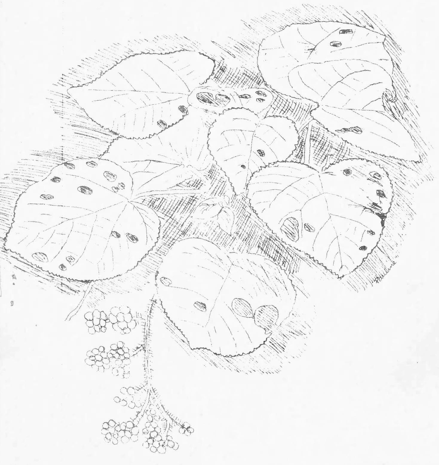
YOUR FRIENDS IN THE BUSH
No. 1
THE STINGING TREE (Dendrocnide moroides)
grows as a shrub in cleared spaces and along edges of rainforest. Other species grow into tall trees. The leaves and stems of this shrub are covered with stiff hairs. Each hair contains a poison and has a sharp point with an easily detachable head. At the slightest touch these points stick into the skin and break off, injecting the poison. The effect of the sting may be felt for as long as months afterwards. Many insects eat the leaves despite the toxic hairs, and birds eat the translucent purple fruits without harmful effect. Humans and other animals should avoid this shrub at all times.